Bay Horse
| Bay Horse | |
 The Bay Horse Inn |
|
 Bay Horse |
|
| OS grid reference | SD492530 |
|---|---|
| Civil parish | Ellel |
| District | City of Lancaster |
| Shire county | Lancashire |
| Region | North West |
| Country | England |
| Sovereign state | United Kingdom |
| Post town | LANCASTER |
| Postcode district | LA2 |
| Dialling code | 01524 |
| Police | Lancashire |
| Fire | Lancashire |
| Ambulance | North West |
| EU Parliament | North West England |
| UK Parliament | Lancaster and Wyre |
|
|
Coordinates: 53°58′12″N 2°46′26″W / 53.970°N 2.774°W
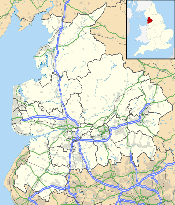
Bay Horse is a sparsely populated hamlet in the English county of Lancashire. It lies between Lancaster and Preston to the north and south respectively.
Geography
To the west is the Irish Sea, and to the east is the Forest of Bowland, partly owned by the Royal Family.[1]
Community
The local area is mostly farmland, the nearest large urban area being Lancaster, approximately five miles away. Approximately 100 inhabitants reside in Bay Horse. The main road through Bay Horse is Whams Lane, which is used by motorcyclists on their way to Devils Bridge at Kirkby Lonsdale.
Travel
The Lancaster Canal bisects the village, and the M6 motorway runs though the village.
Bay Horse railway station closed due to low usage in the 1960s.
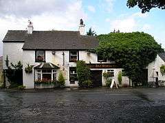
Pub
There are no amenities in the village, just a single pub, the Bay Horse Inn, after which the village is named. Even though the boundaries of Bay Horse are uncertain, there is a riding school on the outskirts called Bay Horse School.[2]
Notable figures have attended the pub, including, amongst others, Sir Alex Ferguson.
References
External links
![]() Media related to Bay Horse at Wikimedia Commons
Media related to Bay Horse at Wikimedia Commons