Gilbert Peak (Utah)
| Gilbert Peak | |
|---|---|
 Gilbert Peak viewed from the northeast in the West Fork Beaver Creek drainage. | |
| Highest point | |
| Elevation | 13,448 ft (4,099 m) NAVD 88[1] |
| Prominence | 1,554 ft (474 m) [1] |
| Coordinates | 40°49′25″N 110°22′40″W / 40.823479°N 110.377871772°WCoordinates: 40°49′25″N 110°22′40″W / 40.823479°N 110.377871772°W [1] |
| Geography | |
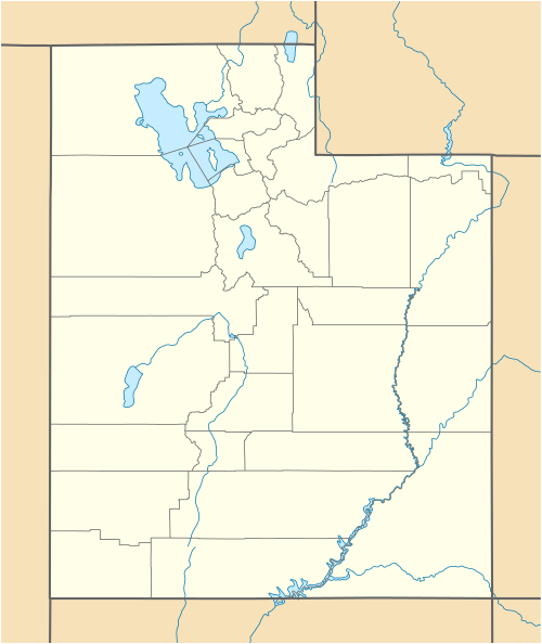 Gilbert Peak Location in Utah | |
| Location | Duchesne County and Summit County, Utah, U.S. |
| Parent range | Uinta Mountains |
| Topo map | USGS Kings Peak |
Gilbert Peak is the third highest peak in the U.S. state of Utah,[1] with an elevation of 13,448 feet (4,099 m).[1] It lies on the spine of the central Uinta Mountains, on the border between Uinta-Wasatch-Cache National Forest and Ashley National Forest in northeastern Utah, and on the border between Summit County and Duchesne County. It is the highpoint of Summit County,[2] and lies within the boundaries of the High Uintas Wilderness.
References
- 1 2 3 4 5 "Gilbert Peak, Utah". Peakbagger.com. Retrieved 2016-10-06.
- ↑ "Gilbert Peak UT". listsofjohn.com. Retrieved 2016-10-06.
External links
![]() Media related to Gilbert Peak (Utah) at Wikimedia Commons
Media related to Gilbert Peak (Utah) at Wikimedia Commons
- U.S. Geological Survey Geographic Names Information System: Gilbert Peak
- Gilbert Peak at summitpost.com
- Utah County High Points at peakbagger.com
This article is issued from Wikipedia - version of the 12/2/2016. The text is available under the Creative Commons Attribution/Share Alike but additional terms may apply for the media files.