Gifford, Iowa
| Gifford, Iowa | |
|---|---|
| Unincorporated community | |
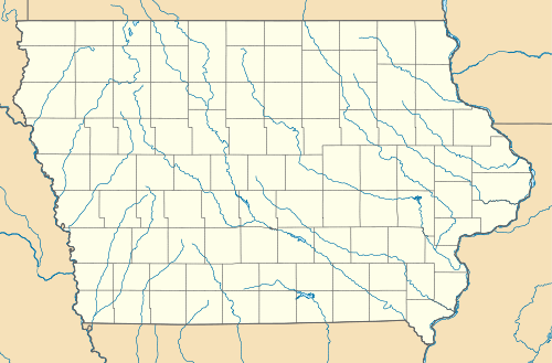 Gifford, Iowa Location within the state of Iowa | |
| Coordinates: 42°17′18″N 93°5′26″W / 42.28833°N 93.09056°WCoordinates: 42°17′18″N 93°5′26″W / 42.28833°N 93.09056°W | |
| Country | United States |
| State | Iowa |
| County | Hardin |
| Elevation | 945 ft (288 m) |
| Time zone | Central (CST) (UTC-6) |
| • Summer (DST) | CDT (UTC-5) |
| GNIS feature ID | 456897 |
Gifford is an unincorporated community in southeastern Hardin County, Iowa, United States. It lies along local roads south of the city of Eldora, the county seat of Hardin County.[1] Its elevation is 945 feet (288 m).[2]
History
Gifford was laid out in 1875.[3] It was named for C. T. Gifford, who was instrumental in bringing the railroad there.[4] By 1880, Gifford was at junction of two railroads.[5]
Gifford's post office was established on November 9, 1875 and discontinued on February 28, 1907. Although the post office was reopened on February 17, 1908, it was again discontinued on October 31, 1954 and attached to the Union post office.[6] Although its post office is gone, Gifford has its own ZIP Code, 50259,[7] even though the ZIP Code system was not implemented until nearly nine years after Gifford's post office was attached to Union's.[8]
References
- ↑ Rand McNally. The Road Atlas '08. Chicago: Rand McNally, 2008, p. 38-39.
- ↑ U.S. Geological Survey Geographic Names Information System: Gifford, Iowa, Geographic Names Information System, 1979-04-30.
- ↑ History of Hardin County, Iowa. Union Publishing Company. 1883. p. 964.
- ↑ Chicago and North Western Railway Company (1908). A History of the Origin of the Place Names Connected with the Chicago & North Western and Chicago, St. Paul, Minneapolis & Omaha Railways. p. 77.
- ↑ Moir, William J. (1911). Past and Present of Hardin County, Iowa. Unigraphic. p. 356.
- ↑ U.S. Geological Survey Geographic Names Information System: Gifford, Iowa, Geographic Names Information System, 2003-09-16. Accessed 2008-06-11.
- ↑ Zip Code Lookup
- ↑ The Two "Mr. ZIP Codes", Zip-Codes.com, 2008. Accessed 2008-06-11.
Municipalities and communities of Hardin County, Iowa, United States | ||
|---|---|---|
| Cities | ||
| Townships | ||
| CDP | ||
| Other unincorporated communities | ||
| Ghost towns | ||
| Footnotes | ‡This populated place also has portions in an adjacent county or counties | |