Gäddede
| Gäddede | |
|---|---|
 Gäddede 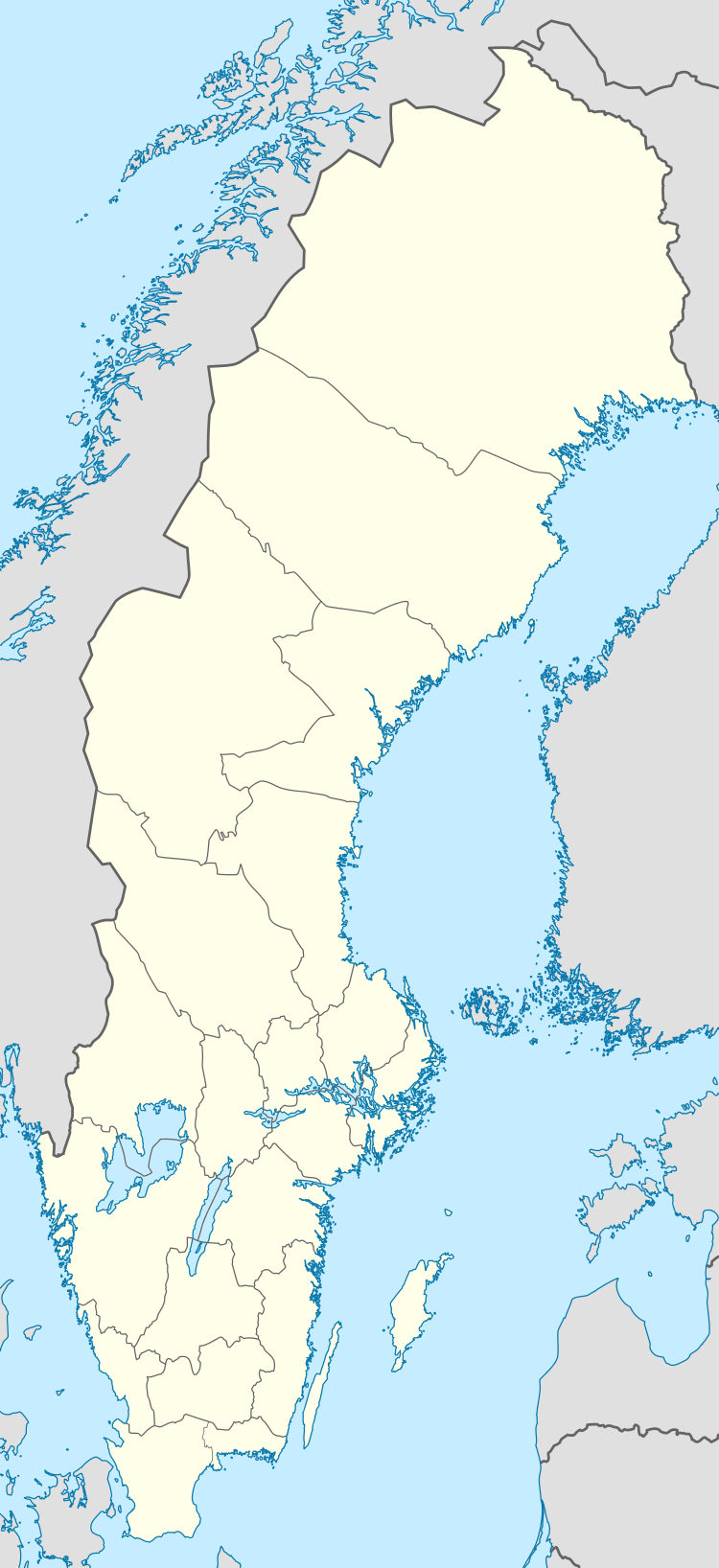 Gäddede | |
| Coordinates: 64°30′N 14°09′E / 64.500°N 14.150°ECoordinates: 64°30′N 14°09′E / 64.500°N 14.150°E | |
| Country | Sweden |
| Province | Jämtland |
| County | Jämtland County |
| Municipality | Strömsund Municipality |
| Area[1] | |
| • Total | 1.36 km2 (0.53 sq mi) |
| Population (31 December 2010)[1] | |
| • Total | 401 |
| • Density | 294/km2 (760/sq mi) |
| Time zone | CET (UTC+1) |
| • Summer (DST) | CEST (UTC+2) |
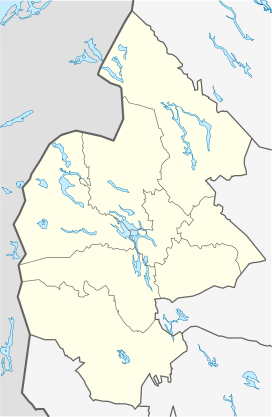
Gäddede is a locality situated in Strömsund Municipality, Jämtland County, Sweden with 401 inhabitants in 2010.[1] It is located in the far north-western corner of the municipality and it is more than 100 kilometres (62 mi) to the locality of Strömsund by road. Gäddede is located a mere 5 kilometres (3.1 mi) from the Norway-Sweden border.
Climate
The Swedish weather service (SMHI) operates a weather station in Gäddede. The climate is subarctic with a significant maritime influence from the Gulf Stream. Gäddede is along with Storlien and Riksgränsen one of very few localities in Sweden that lies less than 100 kilometres (62 mi) from the open North Atlantic sea. As a result the effects on the local climate is greater than further inland or at the east coast. The maritime air often blocks continental air during summers, causing chilly temperatures. During some winters however, temperatures hover just below freezing when low-pressure systems are strong. Due to winter precipitation being high, Gäddede has a predictable snow cover for several months.
| Climate data for Gäddede (2002-2015; precipitation 1961-1990; extremes since 1905) | |||||||||||||
|---|---|---|---|---|---|---|---|---|---|---|---|---|---|
| Month | Jan | Feb | Mar | Apr | May | Jun | Jul | Aug | Sep | Oct | Nov | Dec | Year |
| Record high °C (°F) | 9.2 (48.6) |
8.5 (47.3) |
12.6 (54.7) |
19.0 (66.2) |
27.6 (81.7) |
30.3 (86.5) |
32.0 (89.6) |
29.0 (84.2) |
24.0 (75.2) |
16.3 (61.3) |
11.9 (53.4) |
8.4 (47.1) |
32.0 (89.6) |
| Average high °C (°F) | −4.4 (24.1) |
−3.7 (25.3) |
0.0 (32) |
5.4 (41.7) |
10.9 (51.6) |
15.7 (60.3) |
19.0 (66.2) |
17.3 (63.1) |
11.2 (52.2) |
4.5 (40.1) |
0.0 (32) |
−2.4 (27.7) |
6.1 (43) |
| Daily mean °C (°F) | −7.4 (18.7) |
−6.9 (19.6) |
−3.8 (25.2) |
1.4 (34.5) |
6.2 (43.2) |
10.6 (51.1) |
14.0 (57.2) |
12.3 (54.1) |
7.8 (46) |
2.0 (35.6) |
−2.3 (27.9) |
−5.2 (22.6) |
2.4 (36.3) |
| Average low °C (°F) | −10.4 (13.3) |
−10.0 (14) |
−7.7 (18.1) |
−2.5 (27.5) |
1.5 (34.7) |
5.4 (41.7) |
8.9 (48) |
7.4 (45.3) |
4.4 (39.9) |
−0.4 (31.3) |
−4.6 (23.7) |
−8.1 (17.4) |
−1.3 (29.7) |
| Record low °C (°F) | −40.4 (−40.7) |
−38.2 (−36.8) |
−36.8 (−34.2) |
−24.8 (−12.6) |
−14.3 (6.3) |
−4.8 (23.4) |
−0.9 (30.4) |
−3.0 (26.6) |
−6.8 (19.8) |
−16.4 (2.5) |
−24.4 (−11.9) |
−40.2 (−40.4) |
−40.4 (−40.7) |
| Average precipitation mm (inches) | 68.2 (2.685) |
47.6 (1.874) |
50.5 (1.988) |
35.1 (1.382) |
39.3 (1.547) |
56.5 (2.224) |
84.2 (3.315) |
75.0 (2.953) |
83.9 (3.303) |
73.9 (2.909) |
64.7 (2.547) |
72.2 (2.843) |
745.9 (29.366) |
| Source #1: SMHI precipitation average 1961-1990[2] | |||||||||||||
| Source #2: SMHI climate data 2002-2015[3] | |||||||||||||
References
- 1 2 3 "Tätorternas landareal, folkmängd och invånare per km2 2005 och 2010" (in Swedish). Statistics Sweden. 14 December 2011. Archived from the original on 10 January 2012. Retrieved 10 January 2012.
- ↑ "Precipitation normals 1961-1990 (Swedish)". Swedish Meteorological and Hydrological Institute (Gäddede code 14 440).
- ↑ "Yearly & Monthly statistics (Swedish)". SMHI. April 16, 2016.