El Porvenir, Francisco Morazán
For other uses, see El Porvenir.
| El Porvenir | |
|---|---|
| Municipality | |
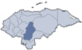
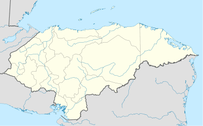 El Porvenir Location in Honduras | |
| Coordinates: 14°45′N 87°11′W / 14.750°N 87.183°W | |
| Country | Honduras |
| Department | Francisco Morazán |
| Area | |
| • Total | 400 km2 (200 sq mi) |
| Population (2015) | |
| • Total | 21,669 |
| • Density | 54/km2 (140/sq mi) |
El Porvenir is a municipality in the Honduran department of Francisco Morazán.
Coordinates: 14°45′0″N 87°11′0″W / 14.75000°N 87.18333°W
This article is issued from Wikipedia - version of the 1/14/2016. The text is available under the Creative Commons Attribution/Share Alike but additional terms may apply for the media files.