Santa Ana, Francisco Morazán
For other uses, see Santa Ana.
| Santa Ana | |
|---|---|
| Municipality | |
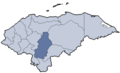
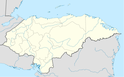 Santa Ana Location in Honduras | |
| Coordinates: 13°56′N 87°16′W / 13.933°N 87.267°W | |
| Country | Honduras |
| Department | Francisco Morazán |
| Area | |
| • Total | 66 km2 (25 sq mi) |
| Population (2015) | |
| • Total | 16,439 |
| • Density | 250/km2 (650/sq mi) |
Santa Ana is a municipality in the Honduran department of Francisco Morazán.
The location of the crash of Central American Airways Flight 731 was El Espino in Santa Ana.[1]
References
- ↑ "DGAC-ACCID-01-2011, CENTRAL AMERICAN AIRWAYS, MATRICULA HR-AUQ" (Archive) Dirección General de Aeronáutica Civil. p. 2/21 (INTRODUCCION [sic]). "El accidente ocurrió en El Espino, Jurisdicción de Santa Ana, Francisco Morazán."
Coordinates: 13°56′0″N 87°16′0″W / 13.93333°N 87.26667°W
This article is issued from Wikipedia - version of the 1/14/2016. The text is available under the Creative Commons Attribution/Share Alike but additional terms may apply for the media files.