Dacope Upazila
| Dacope দাকোপ | |
|---|---|
| Upazila | |
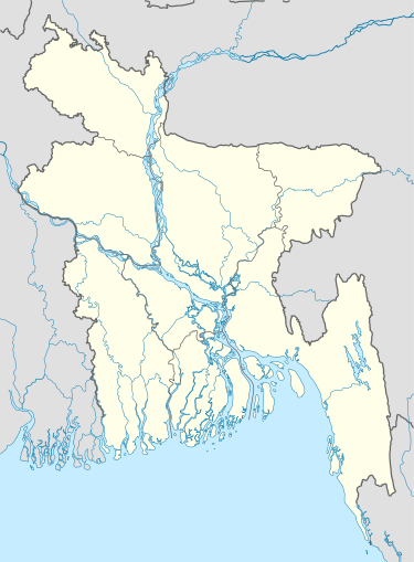 Dacope Location in Bangladesh | |
| Coordinates: 22°34.3′N 89°30.7′E / 22.5717°N 89.5117°ECoordinates: 22°34.3′N 89°30.7′E / 22.5717°N 89.5117°E | |
| Country |
|
| Division | Khulna Division |
| District | Khulna District |
| Area | |
| • Total | 991.58 km2 (382.85 sq mi) |
| Population (1991) | |
| • Total | 143,131 |
| • Density | 140/km2 (370/sq mi) |
| Time zone | BST (UTC+6) |
| Website | Official Map of Dacope |
Dacope (Bengali: দাকোপ) is an Upazila of Khulna District in the Division of Khulna, Bangladesh.[1]
Geography
Dacope is located at 22°34′20″N 89°30′40″E / 22.5722°N 89.5111°E . It has 25,377 households and a total area of 991.58 km². With an area of 99158 km2, is bounded by Batiaghata Upazila on the north, Pashur River on the south, Rampal and Mongla Upazilas on the east and Paikgachha and Koyra Upazilas on the west. The main rivers are Pasur, Sibsa, Manki, Bhadra. The southern part of this upazila is surrounded by Sundarban (11790.13 hectares).
Demographics
According to the 1991 Bangladesh census, Dacope had a population of 143,131. Males constituted 52.25% of the population, and females 47.75%. The population aged 18 or over was 78,759. Dacope had an average literacy rate of 37.6% (7+ years), compared to the national average of 32.4%.[2]
Administration
The administration of Dacope thana was established in 1913 and turned into an upazila in 1983. It consists of 10 union parishads, 26 mouzas and 107 villages. There is a War of Liberation mass killing site at Bazua High School courtyard and a War of Liberation monument, Smriti Amlan (in front of the upazila parisad building).
NGO activities
Operationally important NGOs are Asa, BRAC,Caritas, Proshika, World Vision, Gonoshahajjo Sangstha, HEED Bangladesh, Step, WorldFish, Rupantar and Prodipon,Society for participatory Education and Development (SPED), Paschim Bajua students welfare Association , Bajua, Dacope ,Khulna .
Transport
- Motorbike
- Engine Van
- Launch
- Steamer
- Boat
- Traler
Education
Primary School
- 1.Govt. paschim Bajua primary school ,Dacope, Khulna.
- 2.Govt. Trimohani primary School , Dacope Khulna .
- 3.Batbunia Govt. Primary School, Batbunia, Dacope, Khulna
- 4.Govt. HoriMohon Primary School,Dacope,Khulna
- 5.Govt. Primary School, Khutakhali, Laudob, Dacope,Khulna
- 6.Govt. Primary School, Badamtala, Laudob, Dacope,Khulna
- 7.Govt. Primary School, Bajua, Dacope,Khulna
- 8.CMB Registered Primary School, Dacope, Khulna
- 9.Batbunia J. N. Government Primary School.
High School
- Paschim Bajua secondary school , Dacope, khuna.
- Batbunia Collegiate School, Batbunia, Dacope, Khulna
- Gunari Shital Chandra High School,Dacope,Khulna
- Abul Hosain Girls High School,Dacope,Khulna
- Bajua Union High School,Dacope,Khulna
- Bajua Girls High School,Dacope,Khulna
- Bangabandhu High School, Dacope,Khulna
- Banisanta Pinak Pani High School,Dacope,Khulna
- Chalna Bazar Govt. Girls High School,Dacope,Khulna
- Chalna K C Pilot High School,Dacope,Khulna
- Chunkuri High School,Dacope,Khulna
- Dacope Girl's High School,Dacope,Khulna
- Dacope Shaheberabad Secondary School,Dacope,Khulna
- Dakshin Gunari High School,Dacope,Khulna
- Govt Model School, Burirdabur, Laudobe, Dacope, Khulna
- J P High School,Dacope,Khulna
- K G V J Sammilani Girls High School,Dacope,Khulna
- Kailashganj Secondary School,Dacope,Khulna
- Kalabagi Sundarban High School,Dacope,Khulna
- Kalinagar G C Memorial High School,Dacope,Khulna
- Kamini Basia G.L. High School,Dacope,Khulna
- Khona K B Secondary School,Dacope,Khulna
- Laksmikhola G.T. Pallimongal High School,Dacope,Khulna
- Laudobe Badamtala High School,Dacope,Khulna
- Lowdove Banisanta High School,Dacope,Khulna
- Mohammad Ali High School,Dacope,Khulna
- Mozam Nagar High School,Dacope,Khulna
- Nalian High School,Dacope,Khulna
- Pankhali Momotajbegum Secondary School,Dacope,Khulna
- Ramnagar Binapani High School,Dacope,Khulna
- Shahid Smriti Junior Girls School,Dacope,Khulna
- Sonar Bangla High School,Dacope,Khulna
- Sreenagar High School,Dacope,Khulna
- Sundarban Adarsha High School,Dacope,Khulna
- Suterkhali High School,Dacope,Khulna
- Talukdar Akhter Faruque High School,Dacope,Khulna
- Tildanga Union Girl's High School,Dacope,Khulna
- Trimohani High School,Dacope,Khulna
- Yasin High School,Dacope,Khulna
College
- Bajua Surendra Nath Degree College, Dacope, Khulna.
- Chalna College(1995), Chalna Bazar, Chalna Municipality, Dacope, Khulna.
- Chalna M.M. Degree college.
- Chalna Mohila Mohabidyaloy, Chalna Bazar, Dacope, Khulna.
- L.B.K Govt.Mohila College, Dacope, Khulna
See also
References
- ↑ Shah Siddiqi (2012). "Dacope Upazila". In Sirajul Islam and Ahmed A. Jamal. Banglapedia: National Encyclopedia of Bangladesh (Second ed.). Asiatic Society of Bangladesh.
- ↑ "Population Census Wing, BBS". Archived from the original on 2005-03-27. Retrieved 2006-11-10.
| Upazila/Thana: | ||
|---|---|---|