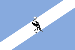
Ciskei
| Republic of Ciskei | ||||||||||
| iRiphabliki ye Ciskei | ||||||||||
| Bantustan | ||||||||||
| ||||||||||
| ||||||||||
| Motto "Siyakunqandwa Ziinkwenkwezi" (Xhosa) "We Shall be Stopped by the Stars" or "The Sky is the Limit" | ||||||||||
| Anthem Nkosi sikelel'i Afrika | ||||||||||
 Location of Ciskei (red) within South Africa (yellow). | ||||||||||
| Capital | Bisho | |||||||||
| Languages | Xhosa English | |||||||||
| Political structure | Bantustan | |||||||||
| Chief Minister | ||||||||||
| • | 1972–1973 | Chief J. T. Mabandla | ||||||||
| • | 1973–1978a | Lennox Leslie Wongamu Sebe | ||||||||
| • | 1978–1990b | Lennox Leslie Wongamu Sebe | ||||||||
| • | 1990–1994 | Brigadier General Oupa Gqozo | ||||||||
| History | ||||||||||
| • | Self-government | 1 August 1972 | ||||||||
| • | Nominal independence | 4 December 1981 | ||||||||
| • | Re-integrated into South Africa | 27 April 1994 | ||||||||
| Area | ||||||||||
| • | 1980[1] | 9,000 km² (3,475 sq mi) | ||||||||
| Population | ||||||||||
| • | 1980[1] est. | 677,920 | ||||||||
| Density | 75.3 /km² (195.1 /sq mi) | |||||||||
| Currency | South African rand | |||||||||
| ||||||||||
| a. | Parliamentary democracy. | |||||||||
| b. | One-party state. | |||||||||

Ciskei (/sɪsˈkeɪ/ or /sɪsˈkaɪ/) was a nominally independent state - a Bantustan - in the south east of South Africa. It covered an area of 7,700 square kilometres (3,000 sq mi), almost entirely surrounded by what was then the Cape Province, and possessed a small coastline along the shore of the Indian Ocean.
Under South Africa's policy of apartheid, land was set aside for black peoples in self-governing territories. Ciskei was designated as one of two homelands or "Bantustans" for Xhosa-speaking people. Ngqika (Rharhabe) Xhosa people were resettled in the Ciskei, and Gcaleka Xhosa were settled in the Transkei, the other Xhosa homeland.
Ciskei had a succession of capitals during its existence. Originally, Zwelitsha served as the capital with the view that Alice would become the long-term national capital. However, it was Bisho (now spelled Bhisho) that became the capital until Ciskei's reintegration into South Africa.
The name Ciskei means "on this side of the Kei River", and is in contrast to the neighbouring Bantustan of Transkei.
History


By the time Sir John Cradock was appointed governor of the Cape Colony in 1811, the Zuurveld region had lapsed into disorder and many white farmers had begun to abandon their farms.[2] Early during 1812, on the instructions of the governor, Lieutenant-Colonel John Graham forced 20,000 Xhosa to cross the Fish River.[2] Subsequently, 27 military posts were erected across this border, which resulted in the establishment of the garrison towns of Grahamstown and Cradock.[2]
At the end of the 19th century, the area known as British Kaffraria between the Fish and Kei rivers had been set aside for the "Bantu" and was from then on known as the Ciskei.[3] Europeans gave the name Ciskei to the area to distinguish it from the Transkei, the area north of the Kei.[4]
After the Union of South Africa formed in 1910, the "Bantu" rights of occupation remained unclear and differed from colony to colony within South Africa. The Native Lands Act of 1913 demarcated the reserves in the Union, and made it illegal to sell or lease these lands to Europeans (except in the Cape Colony).[3] General Hertzog pursued his segregation policy and subsequently passed the Native Trust and Land Act in 1936.[5] This act effectively abolished the right of the Cape "Bantu" to buy land outside of the existing reserves.[5]
Independence
In 1961 Ciskei became a separate administrative region and in 1972 was declared self-governing under the rule of Chief Justice Mabandla and then Lennox Sebe. In 1978 it became a single-party state under the rule of Lennox Sebe, and after an independence referendum in 1980, in 1981 it became the fourth homeland to be declared independent by the South African government and its residents lost their South African citizenship. However, there were no border controls between South Africa and Ciskei. In common with other Bantustans its independence was not recognised by the international community. Sebe once claimed that the State of Israel had granted official recognition to Ciskei, but the Israeli Foreign Ministry denied this.[6]
Coup d'état
In 1990 Brigadier Oupa Gqozo deposed Sebe and ruled as a dictator – despite an initial promise of a swift return to civilian rule. During 1991 and 1992 many of the legal foundations of apartheid in South Africa were removed, undermining the rationale for the homelands' continued existence. The African National Congress pressed strongly for them to be reincorporated into South Africa. This was opposed by Gqozo and the other homeland leaders.
Bisho massacre
On 7 September 1992 the Ciskei Defence Force fired into a crowd (led by Ronnie Kasrils) of ANC members demanding the removal of Gqozo.[7][8] 28 people were killed and hundreds injured in the Bisho massacre outside the sports stadium in Bisho, the small capital of Ciskei.[7][8]
| Historical states in present-day South Africa |
|---|
 |
|
before 1600
|
|
1600–1700
|
|
1700–1800
|
|
1800–1850
|
|
1850–1875
|
|
1875–1900
|
|
1900–present
|
|
|
Annexation
Gqozo refused to participate in the multiracial negotiations to agree a post-apartheid constitution for South Africa and initially threatened to boycott the first multiracial elections. This became unsustainable and in March 1994 Ciskei government workers went on strike for fear of losing their job security and pensions in the post-apartheid era. The police then mutinied, prompting Gqozo to resign on 22 March. The South African government took control of the homeland to ensure security until the elections could be held the following month.
Ciskei and all of the other homelands were reincorporated into South Africa on 27 April 1994, after the first post-apartheid elections. Along with Transkei, Ciskei became part of the new Eastern Cape Province, with its capital becoming the capital of the new province.
Districts in 1991
Districts of the province and population at the 1991 census.[9]
- Alice: 43,452
- Whittlesea: 50,199
- Keiskammahoek: 32,740
- Mdantsane: 105,117
- Middledrift: 37,979
- Peddie: 52,245
- Zwelitsha: 142,779
- Mpofu: 13,056
Law enforcement and Defence
- Founded in 1981 the Ciskei Defence Force consisted of two battalions and an Air-wing.
- Ciskei Police
- Ciskei Police - Law Enforcement Division
- Ciskei Prisons Service
- Ciskei Traffic Force
See also
Books on Ciskei
- Mager, A.K. (1999) Gender and the Making of a South African Bantustan: A Social History of the Ciskei, 1945–1959, Heinemann.
- Switzer, L. (1993) Power and Resistance in an African Society: The Ciskei Xhosa and the Making of South Africa, University of Wisconsin Press.
References
- 1 2 Sally Frankental; Owen Sichone (2005-01-01). South Africa's Diverse Peoples: A Reference Sourcebook. ABC-CLIO. p. 187. ISBN 978-1-57607-674-3. Retrieved 2013-09-18.
- 1 2 3 Cameron, Trewhella; Spies, S.B., eds. (1980) [1986]. An Illustrated History of South Africa (1 ed.). Jonathan Ball Publishers, Johannesburg. p. 79. ISBN 0-86850-118-2.
- 1 2 Boyce, A.N. (1971) [1969]. Europe and South Africa: A history for South African High Schools (3 ed.). Juta & Company, Limited. p. 700.
- ↑ Bulpin, T.V. (1980). Mayhew, Vic; Duncan, Tony; Handler, Rosemund, eds. Illustrated Guide to Southern Africa (2 ed.). Reader's Digest. p. 152. ISBN 0-620-04650-3.
- 1 2 Boyce, A.N. (1971) [1969]. Europe and South Africa: A history for South African High Schools (3 ed.). Juta & Company, Limited. p. 702.
- ↑ Sasha Polakow-Suransky, The Unspoken Alliance: Israel's Secret Relationship with Apartheid South Africa, (New York: Pantheon Books), 2010, p. 157.
- 1 2 Ronnie Kasrils (2004-05-07). "A Decade of Democracy: What if Boipatong and Bisho had not happened?". FinancialMail.co.za. Retrieved 2010-12-22.
- 1 2 "Evidence that Ciskei massacre was planned". GreenLeft. 1992-09-30. Retrieved 2010-12-22.
- ↑ "Census > 1991 > Ciskei > Variable Description > ... > District code". Statistics South Africa - Nesstar WebView. Retrieved 18 August 2013.
External links
| Look up Ciskei in Wiktionary, the free dictionary. |
| Wikimedia Commons has media related to Ciskei. |
- Ciskei – general information
- African Studies Quarterly
- South African history site
- WHKMLA site
- Creation of tribalism in Ciskei
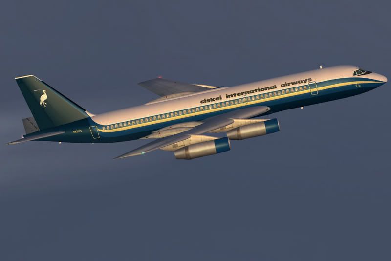
- Ciskei International Airways CV-990
| |||||||||||||||||||||||||||||||||||||||||||||||||||||||||||||||||||||||||||||||||||||||||||||||||||||||||||||||||||||||||||||||||||||||||||||||||||||||||||||||||||||||||