Chester, Utah
| Chester | |
|---|---|
| Unincorporated community | |
 Chester Location within the state of Utah | |
| Coordinates: 39°28′34″N 111°33′47″W / 39.47611°N 111.56306°WCoordinates: 39°28′34″N 111°33′47″W / 39.47611°N 111.56306°W | |
| Country | United States |
| State | Utah |
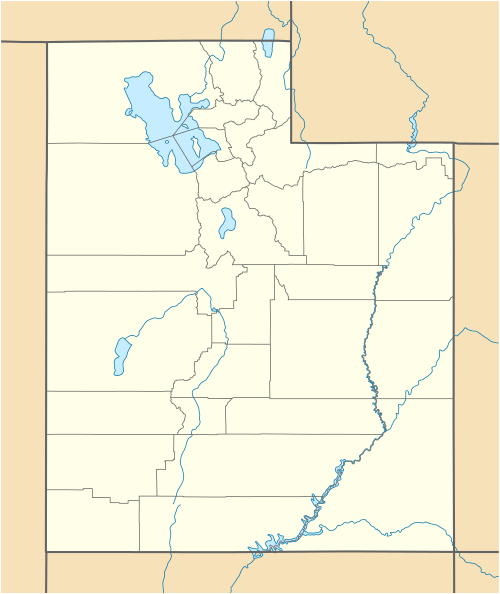
| County | Sanpete |
| Founded by | David Candland |
| Named for | Chesterfield |
| Elevation[1] | 5,515 ft (1,681 m) |
| Population (2000) | |
| • Total | 178 |
| Time zone | Mountain (MST) (UTC-7) |
| • Summer (DST) | MDT (UTC-6) |
| ZIP codes | 84623 |
| Area code(s) | 435 |
| GNIS feature ID | 1439662[1] |
| Historical population | |||
|---|---|---|---|
| Census | Pop. | %± | |
| 1880 | 188 | — | |
| 1890 | 259 | 37.8% | |
| 1900 | 270 | 4.2% | |
| 1910 | 279 | 3.3% | |
| 1920 | 256 | −8.2% | |
| 1930 | 171 | −33.2% | |
| 1940 | 192 | 12.3% | |
| 1950 | 153 | −20.3% | |
| 2000 | 178 | — | |
| Source: U.S. Census Bureau[2] | |||
Chester is an unincorporated community in Sanpete County, Utah, United States, four miles west of Spring City at the junction of SR-132 and SR-117. The population was 178 at the 2000 census. Chester was founded by David Candland. In the beginning the town was named Canal Creek after the waterway from which the community received its water. Candland then changed the name to Chesterfield after his hometown in England; it was later reduced to Chester.[3]
References
- 1 2 U.S. Geological Survey Geographic Names Information System: Chester, Utah. Retrieved on May 18, 2011.
- ↑ "Census of Population and Housing". U.S. Census Bureau. Retrieved November 4, 2011.
- ↑ Van Cott, John W. (1990). Utah Place Names. Salt Lake City, Utah: University of Utah Press. p. 77. ISBN 0-87480-345-4.
Municipalities and communities of Sanpete County, Utah, United States | ||
|---|---|---|
| Cities | 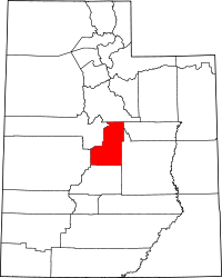 | |
| Towns | ||
| Unincorporated communities | ||
| Ghost towns | ||
This article is issued from Wikipedia - version of the 11/21/2016. The text is available under the Creative Commons Attribution/Share Alike but additional terms may apply for the media files.