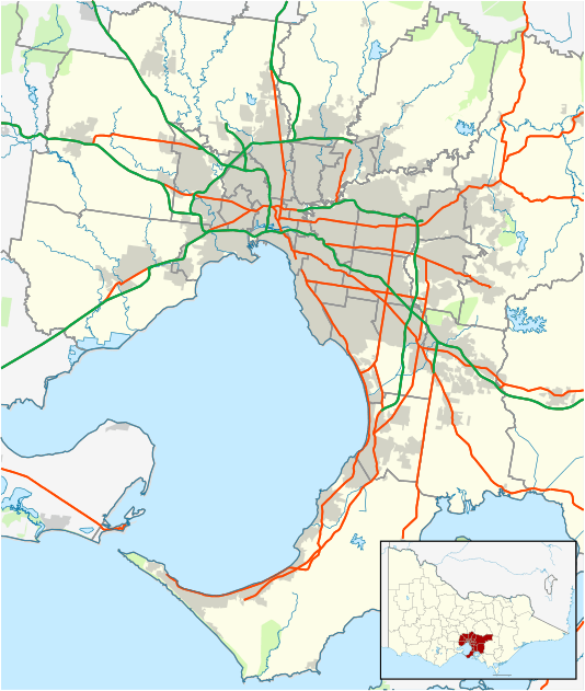
Bellfield, Victoria
"Bellfield" redirects here. For the murderer, see Levi Bellfield. See also Belfield (disambiguation).
| Bellfield Melbourne, Victoria | |||||||||||||
|---|---|---|---|---|---|---|---|---|---|---|---|---|---|
 Bellfield | |||||||||||||
| Coordinates | 37°45′14″S 145°02′42″E / 37.754°S 145.045°ECoordinates: 37°45′14″S 145°02′42″E / 37.754°S 145.045°E | ||||||||||||
| Population | 1,728 (2011)[1] | ||||||||||||
| • Density | 1,920/km2 (4,970/sq mi) | ||||||||||||
| Postcode(s) | 3081 | ||||||||||||
| Area | 0.9 km2 (0.3 sq mi) | ||||||||||||
| Location | 9 km (6 mi) from Melbourne | ||||||||||||
| LGA(s) | City of Banyule | ||||||||||||
| State electorate(s) | Ivanhoe | ||||||||||||
| Federal Division(s) | Jagajaga | ||||||||||||
| |||||||||||||
Bellfield is a suburb of Melbourne, Victoria, Australia, 9 km north-east from Melbourne's Central Business District. Its local government area is the City of Banyule. At the 2011 Census, Bellfield had a population of 1,728.
Bellfield is bounded in the west by the Darebin Creek, in the north by Bell Street, in the east by Waterdale Road and in the south by Banksia Street.
Bellfield is primarily residential but includes the Banyule Waste Recovery Centre on Waterdale Road and sporting fields in Ford Park and Liberty Park Reserve on Banksia Street, towards Darebin Creek.
Bellfield Cricket Club has represented the suburb in the Heidelberg District Cricket Association since 1934 and is based at Ford Park.
See also
- City of Heidelberg - A former Local Government Area which Bellfield was a part of.
References
- ↑ Australian Bureau of Statistics (31 October 2012). "Bellfield (State Suburb)". 2011 Census QuickStats. Retrieved 1 July 2012.
External links
This article is issued from Wikipedia - version of the 8/22/2016. The text is available under the Creative Commons Attribution/Share Alike but additional terms may apply for the media files.