Bass Lake, Sawyer County, Wisconsin
| Bass Lake, Wisconsin | |
|---|---|
| Town | |
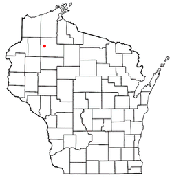 Location of Bass Lake, Sawyer County, Wisconsin | |
| Coordinates: 45°55′5″N 91°25′36″W / 45.91806°N 91.42667°WCoordinates: 45°55′5″N 91°25′36″W / 45.91806°N 91.42667°W | |
| Country | United States |
| State | Wisconsin |
| County | Sawyer |
| Area | |
| • Total | 61.7 sq mi (159.7 km2) |
| • Land | 45.9 sq mi (119.0 km2) |
| • Water | 15.7 sq mi (40.7 km2) |
| Elevation[1] | 1,299 ft (396 m) |
| Population (2000) | |
| • Total | 2,244 |
| • Density | 48.8/sq mi (18.9/km2) |
| Time zone | Central (CST) (UTC-6) |
| • Summer (DST) | CDT (UTC-5) |
| Area code(s) | 715 & 534 |
| FIPS code | 55-05200[2] |
| GNIS feature ID | 1582761[1] |
Bass Lake is a town in Sawyer County, Wisconsin, United States. The population was 2,244 at the 2000 census. The census-designated place of Little Round Lake is located in the town. The unincorporated community of Northwoods Beach is also located in the town.
Geography
According to the United States Census Bureau, the town has a total area of 61.7 square miles (160 km2), of which, 46.0 sq mi (119 km2) of it is land and 15.7 square miles (41 km2) of it (25.49%) is water. The town is located approximately six miles southeast of the city of Hayward, the primary commercial and retail center of the area. It contains a number of lakes including Grindstone Lake, one of three large natural lakes located to the south and east of the city of Hayward, the other two being Lac Courte Oreilles and Round Lake.
Demographics
As of the census[2] of 2000, there were 2,244 people, 830 households, and 630 families residing in the town. The population density was 48.8 people per square mile (18.9/km²). There were 1,836 housing units at an average density of 40.0 per square mile (15.4/km²). The racial makeup of the town was 59.98% White, 0.04% African American, 37.97% Native American, 0.18% Asian, 0.36% from other races, and 1.47% from two or more races. Hispanic or Latino of any race were 1.20% of the population.
There were 830 households out of which 35.2% had children under the age of 18 living with them, 52.2% were married couples living together, 16.9% had a female householder with no husband present, and 24.0% were non-families. 18.9% of all households were made up of individuals and 8.1% had someone living alone who was 65 years of age or older. The average household size was 2.70 and the average family size was 3.04.
In the town the population was spread out with 30.2% under the age of 18, 5.9% from 18 to 24, 25.8% from 25 to 44, 25.6% from 45 to 64, and 12.4% who were 65 years of age or older. The median age was 37 years. For every 100 females there were 96.0 males. For every 100 females age 18 and over, there were 94.8 males.
The median income for a household in the town was $31,274, and the median income for a family was $32,179. Males had a median income of $28,750 versus $20,977 for females. The per capita income for the town was $15,026. About 13.8% of families and 17.4% of the population were below the poverty line, including 24.6% of those under age 18 and 5.8% of those age 65 or over.
References
- 1 2 "US Board on Geographic Names". United States Geological Survey. 2007-10-25. Retrieved 2008-01-31.
- 1 2 "American FactFinder". United States Census Bureau. Archived from the original on 2013-09-11. Retrieved 2008-01-31.
External links
Municipalities and communities of Sawyer County, Wisconsin, United States | ||
|---|---|---|
| City | 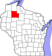 | |
| Villages | ||
| Towns | ||
| CDPs | ||
| Unincorporated communities | ||
| Indian reservation | ||
| Footnotes | ‡This populated place also has portions in an adjacent county or counties | |