Willey, Warwickshire
Coordinates: 52°27′32″N 1°16′23″W / 52.45891°N 1.27293°W
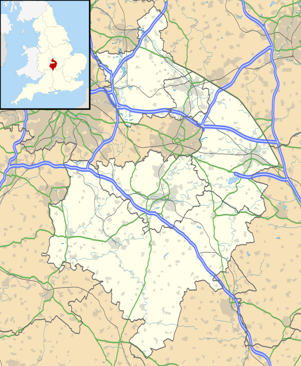
Willey is a rural village and civil parish in the English county of Warwickshire. In the 2001 census it had a population of 95, increasing to 155 at the 2011 census.[1]
Administratively it forms part of the borough of Rugby; geographically it is just west of the A5 road (Watling Street) that marks the county boundary with Leicestershire. However its proximity to the Fosse Way is indicated by its inclusion in the Fosse ward of the borough and the Fosse division of the county.
The village pub in Willey is called the "Sarah Mansfield"; it gained that name in the 1970s, when the then licensee named it in honour of his grandmother.
References
- ↑ "Civil Parish population 2011". Retrieved 2 January 2016.
External links
| Wikimedia Commons has media related to Willey, Warwickshire. |
This article is issued from Wikipedia - version of the 1/24/2016. The text is available under the Creative Commons Attribution/Share Alike but additional terms may apply for the media files.