White Owl, South Dakota
| White Owl | |
|---|---|
| Unincorporated community | |
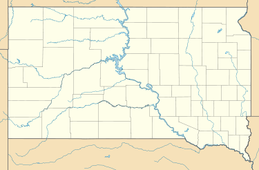 White Owl  White Owl Location within the state of South Dakota | |
| Coordinates: 44°35′32″N 102°25′51″W / 44.59222°N 102.43083°WCoordinates: 44°35′32″N 102°25′51″W / 44.59222°N 102.43083°W | |
| Country | United States |
| State | South Dakota |
| County | Meade |
| Named for | White Owl Creek |
| Elevation | 2,792 ft (851 m) |
| Time zone | Mountain (MST) (UTC-7) |
| • Summer (DST) | MDT (UTC-6) |
| ZIP codes | 57792 |
| Area code(s) | 605 |
| FIPS code | 46-71260[1] |
| GNIS feature ID | 1258970[1] |
White Owl (also Whiteowl) is an unincorporated community in east central Meade County, South Dakota, United States. It lies along Highway 34 55 miles (89 km) east of the city of Sturgis, the county seat.[2] Its elevation is 2,792 feet (851 m). Although it is unincorporated, it has a post office, with the ZIP code of 57792.[3]
The community took its name from nearby White Owl Creek.[4]
References
- 1 2 "US Board on Geographic Names". United States Geological Survey. 2007-10-25. Retrieved 2008-01-31.
- ↑ Rand McNally. The Road Atlas '05. Chicago: Rand McNally, 2005, p. 93.
- ↑ Zip Code Lookup
- ↑ Federal Writers' Project (1940). South Dakota place-names, v.1-3. University of South Dakota. p. 68.
Municipalities and communities of Meade County, South Dakota, United States | ||
|---|---|---|
| Cities |  | |
| CDPs |
| |
| Other unincorporated communities | ||
| Indian reservations | ||
| Ghost towns | ||
| Footnotes | ‡This populated place also has portions in an adjacent county or counties | |
This article is issued from Wikipedia - version of the 7/31/2016. The text is available under the Creative Commons Attribution/Share Alike but additional terms may apply for the media files.