White Cloud Peak 9
| White Cloud Peak 9 | |
|---|---|
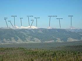 White Cloud Peak 9 at left | |
| Highest point | |
| Elevation | 11,263 ft (3,433 m) |
| Prominence | 463 ft (141 m) [1] |
| Parent peak | Calkins Peak |
| Coordinates | 44°06′41″N 114°37′36″W / 44.111383°N 114.626608°WCoordinates: 44°06′41″N 114°37′36″W / 44.111383°N 114.626608°W |
| Geography | |
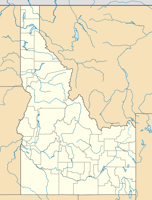 White Cloud Peak 9 Custer County, Idaho, U.S. | |
| Parent range | White Cloud Mountains |
| Topo map | USGS Washington Peak |
| Climbing | |
| Easiest route | Simple scrambling, class 2 |
White Cloud Peak 9, also known as WCP 9, at 11,263 feet (3,433 m) above sea level is an unofficially named peak in the White Cloud Mountains of Idaho. The peak is located in Sawtooth National Recreation Area in Custer County 0.50 mi (0.80 km) south of Calkins Peak, its line parent. It is the 70th highest peak in Idaho and about 0.6 mi (0.97 km) north of D. O. Lee Peak. Cirque Lake is directly southeast of the peak, and Slide Lake is directly northeast of the peak.[2][3][4]
References
This article is issued from Wikipedia - version of the 2/25/2016. The text is available under the Creative Commons Attribution/Share Alike but additional terms may apply for the media files.