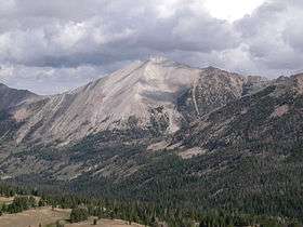
D. O. Lee Peak
| Lee Peak | |
|---|---|
 | |
| Highest point | |
| Elevation | 11,332 ft (3,454 m) [1] |
| Prominence | 542 ft (165 m) [2] |
| Parent peak | Calkins Peak |
| Coordinates | 44°06′10″N 114°37′43″W / 44.1026895°N 114.6286791°WCoordinates: 44°06′10″N 114°37′43″W / 44.1026895°N 114.6286791°W [1] |
| Geography | |
 Lee Peak Custer County, Idaho, U.S. | |
| Parent range | White Cloud Mountains |
| Topo map | USGS Washington Peak |
| Climbing | |
| Easiest route | Scrambling, class 3 |
D. O. Lee Peak, also known as Lee Peak, at 11,347 feet (3,459 m) above sea level is the third highest peak in the White Cloud Mountains of Idaho. It is one of the White Cloud Peaks and the 56th highest peak in Idaho. It was named after Challis native David Oliver Lee (1934-1982), the first United States Forest Service ranger to be assigned to the Sawtooth Wilderness.[1]
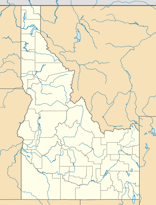
The peak is located 13 mi (21 km) southeast of Stanley in Sawtooth National Recreation Area of Custer County. It is situated 1.25 mi (2.01 km) south-southwest of Calkins Peak, its line parent, and rises to the west of Cirque, Sapphire, Cove, and the Born Lakes.[3][4][5]
See also
References
- 1 2 3 U.S. Geological Survey Geographic Names Information System: Lee Peak
- ↑ "D.O Lee Peak, Idaho". Peakbagger.com. Retrieved January 11, 2013.
- ↑ "The 100 Highest Peaks". Idaho: A Climbing Guide. Retrieved January 11, 2013.
- ↑ Sawtooth National Forest (Map) (1998 ed.). Sawtooth National Forest, U.S. Forest Service.
- ↑ "D.O. Lee Peak". SummitPost.org. Retrieved January 11, 2013.
External links
This article is issued from Wikipedia - version of the 2/25/2016. The text is available under the Creative Commons Attribution/Share Alike but additional terms may apply for the media files.