Whelley
| Whelley | |
 Whelley |
|
| Population | 10,209 (2001 Census) |
|---|---|
| OS grid reference | SD594063 |
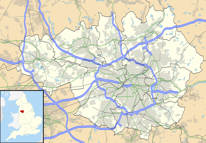
| Metropolitan borough | Wigan |
| Metropolitan county | Greater Manchester |
| Region | North West |
| Country | England |
| Sovereign state | United Kingdom |
| Post town | WIGAN |
| Postcode district | WN1 |
| Dialling code | 01942 |
| Police | Greater Manchester |
| Fire | Greater Manchester |
| Ambulance | North West |
| EU Parliament | North West England |
| UK Parliament | Wigan |
|
|
Coordinates: 53°33′07″N 2°36′51″W / 53.5519°N 2.6142°W
Whelley is an area of northeast Wigan, Greater Manchester, England.[1] Historically part of Lancashire, it is mainly a residential area, between New Springs and Scholes.
In Whelley, there is Canon Sharples Church of England Primary School and Nursery,[2] St Stephen's Church and a Labour club.
Whelley also had its own (non-acute) hospital which specialised in rehabilitation of the elderly, and was part of the Wrightington, Wigan and Leigh NHS Trust.[3] The hospital closed in 2009 and was demolished in late 2010. The site is now vacant and awaiting redevelopment.
In terms of local elections, Whelley is grouped with New Springs and Aspull, and is consistently a Labour supporting area, as with the majority of the Metropolitan Borough of Wigan.
References
- ↑ Ordnance Survey: Landranger map sheet 108 Liverpool (Southport & Wigan) (Map). Ordnance Survey. 2010. ISBN 9780319228388.
- ↑ "Cannon Sharples Primary School". www.canonsharples.wigan.sch.uk. Retrieved 16 April 2016.
- ↑ "Whelley hospital to close". Wigan Today. 31 January 2007. Retrieved 16 April 2016.