Westbourne, Manitoba
| Westbourne | |
|---|---|
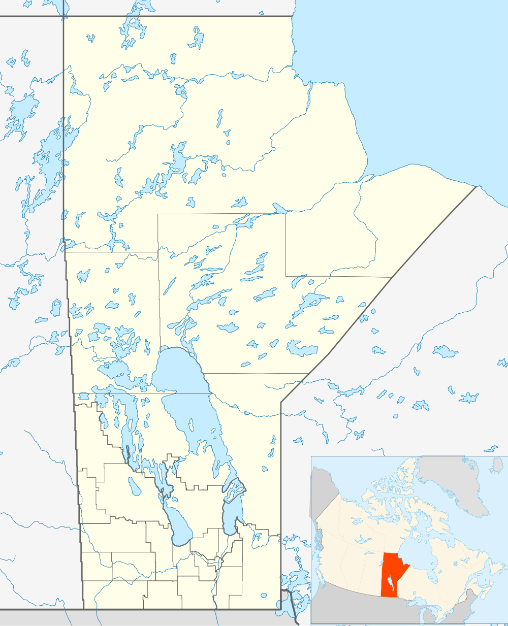 Westbourne Location of Westbourne in Manitoba | |
| Coordinates: 50°7′47″N 98°34′52″W / 50.12972°N 98.58111°WCoordinates: 50°7′47″N 98°34′52″W / 50.12972°N 98.58111°W | |
| Country |
|
| Province |
|
| Region | Central Plains |
| Census Division | No. 8 |
| Government | |
| • Governing Body | Rural Municipality of Westbourne Council |
| • MP | Robert Sopuck |
| • MLA | Stuart Briese |
| Time zone | CST (UTC−6) |
| • Summer (DST) | CDT (UTC−5) |
| Postal Code | R0H 1P0 |
| Area code(s) | 204 |
| NTS Map | 062J02 |
| GNBC Code | GBDPH |
For the Rural municipality, see: Rural Municipality of Westbourne.
Westbourne, Manitoba is an unincorporated community northwest of Portage la Prairie on the Yellowhead Highway. It is part of the Rural Municipality of Westbourne. The post office was opened in 1871 as White Mud River and became Westbourne in 1873 located on 25-13-9W.
References
- Geographic Names of Manitoba (pg. 292) - the Millennium Bureau of Canada
This article is issued from Wikipedia - version of the 12/2/2016. The text is available under the Creative Commons Attribution/Share Alike but additional terms may apply for the media files.