Walshaw
For other uses, see Walshaw (disambiguation).
| Walshaw | |
 Christ Church, Walshaw |
|
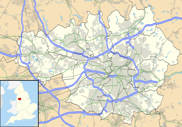 Walshaw |
|
| OS grid reference | SD775118 |
|---|---|
| Metropolitan borough | Bury |
| Metropolitan county | Greater Manchester |
| Region | North West |
| Country | England |
| Sovereign state | United Kingdom |
| Post town | BURY |
| Postcode district | BL8 |
| Dialling code | 01204 |
| 0161 | |
| Police | Greater Manchester |
| Fire | Greater Manchester |
| Ambulance | North West |
| EU Parliament | North West England |
| UK Parliament | Bury North |
|
|
Coordinates: 53°36′07″N 2°20′20″W / 53.602°N 2.339°W
Walshaw is a village forming part of the Metropolitan Borough of Bury, in Greater Manchester, England.[1] It is to the south of Tottington and 2 miles northwest of Bury.[1]
The village has a school, several pubs and a restaurant. It lies around the top of Walshaw Road and the memorial cross and three radiating streets slightly to the North. One third of the centre of the village is taken up by Christ Church Primary School, which is linked to the Anglican Church on High Street.[2]
References
- 1 2 Ordnance Survey: Landranger map sheet 109 Manchester (Bolton & Warrington) (Map). Ordnance Survey. 2014. ISBN 9780319231555.
- ↑ "Christ Church Primary School". www.christchurch.bury.sch.uk. Retrieved 8 April 2016.
| Wikimedia Commons has media related to Walshaw. |
This article is issued from Wikipedia - version of the 4/8/2016. The text is available under the Creative Commons Attribution/Share Alike but additional terms may apply for the media files.