Viper, Kentucky
| Viper, Kentucky | |
|---|---|
| Unincorporated community | |
 Viper, Kentucky | |
| Coordinates: 37°10′58″N 83°08′54″W / 37.18278°N 83.14833°WCoordinates: 37°10′58″N 83°08′54″W / 37.18278°N 83.14833°W | |
| Country | United States |
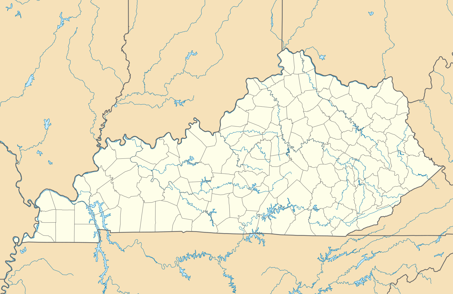
| State | Kentucky |
| County | Perry |
| Elevation | 902 ft (275 m) |
| Time zone | Eastern (EST) (UTC-5) |
| • Summer (DST) | EDT (UTC-4) |
| ZIP code | 41774 |
| Area code(s) | 606 |
| GNIS feature ID | 516188[1] |
Viper is an unincorporated community in Perry County, Kentucky, United States. This area was along the historic War Trace, a Native American trail used by the Cherokee people and earlier indigenous peoples.
Today Viper is served by Kentucky Route 7, 5 miles (8.0 km) south-southeast of Hazard. Viper has a post office with ZIP code 41774.[2]
Notable people
- Jean Ritchie, folk singer
References

This article is issued from Wikipedia - version of the 3/8/2015. The text is available under the Creative Commons Attribution/Share Alike but additional terms may apply for the media files.