Tjøtta
| Tjøtta herred | |
|---|---|
| Former Municipality | |
| Municipality ID | NO-1817 |
| Adm. Center | Tjøtta |
| Area[1] | |
| • Total | 326 km2 (126 sq mi) |
| Created from | Alstahaug in 1862 |
| Merged into | Alstahaug in 1965 |
| Tjøtta | |
|---|---|
| Village | |
 Tjøtta  Tjøtta Location in Nordland | |
| Coordinates: 65°49′22″N 12°25′37″E / 65.82278°N 12.42694°ECoordinates: 65°49′22″N 12°25′37″E / 65.82278°N 12.42694°E | |
| Country | Norway |
| Region | Northern Norway |
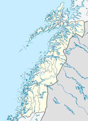
| County | Nordland |
| District | Helgeland |
| Municipality | Alstahaug |
| Area[2] | |
| • Total | 0.33 km2 (0.13 sq mi) |
| Elevation[3] | 10 m (30 ft) |
| Population (2013)[2] | |
| • Total | 224 |
| • Density | 679/km2 (1,760/sq mi) |
| Time zone | CET (UTC+01:00) |
| • Summer (DST) | CEST (UTC+02:00) |
| Post Code | 8860 Tjøtta |
Tjøtta is a village and former municipality in Nordland county, Norway. It is part of the present-day municipality of Alstahaug. The village of Tjøtta is located on the southern tip of the island of Tjøtta, which is located south of the large island of Alsta. The main church for the area is Tjøtta Church.[1] The 0.33-square-kilometre (82-acre) village has a population (2013) of 224. The population density is 679 inhabitants per square kilometre (1,760/sq mi).[2]
Tjøtta gard, the largest farm in North Norway, is located in Tjøtta. The climate is mild, compared with most of Northern Norway, with a long summer suited for agriculture. The monthly 24-hr averages range from −1.8 °C (28.8 °F) in the coldest month to 13 °C (55 °F) in both July and August. The average yearly rainfall is 1,020 millimetres (40 in).[4]
History
Tjøtta is mentioned in Heimskringla many times; this was the home of Hårek, one of the leaders of the peasant army which killed Olav Haraldsson at the Battle of Stiklestad. There is archeological evidence of Iron Age agriculture in the area.[5]
The municipality of Tjøtta was established in 1862 when it was separated from Alstahaug. Initially, Tjøtta had a population of 2,781. On 1 July 1917, the eastern district of Tjøtta was separated to become the municipality of Vevelstad, leaving Tjøtta with 2,287 inhabitants. On 1 July 1920 the Giskåen farm with 10 inhabitants was transferred to Vevelstad. On 1 January 1964 the district on the eastern part of Alsten, with a population of 180, was incorporated into Leirfjord municipality. On 1 January 1965 the district Skogsholmen with 196 inhabitants was incorporated into Vega whereas the rest of Tjøtta, with 1,477 inhabitants, was reunited with Alstahaug.[6]
Media gallery
 Tjøtta is located on Strandflaten lowland near the sea
 Tjøtta gard, the old Tjøtta farm now the site of a guesthouse
 Tjøtta kyrkje, Tjøtta Church
References
- 1 2 Store norske leksikon. "Tjøtta. – kommune" (in Norwegian). Retrieved 2012-01-09.
- 1 2 3 Statistisk sentralbyrå (1 January 2013). "Urban settlements. Population and area, by municipality.".
- ↑ "Tjøtta" (in Norwegian). yr.no. Retrieved 2012-01-09.
- ↑ met.no. "Tjøtta 1961-90".
- ↑ Store norske leksikon. "Tjøtta. – øy" (in Norwegian). Retrieved 2012-01-09.
- ↑ Jukvam, Dag (1999). "Historisk oversikt over endringer i kommune- og fylkesinndelingen" (PDF) (in Norwegian). Statistisk sentralbyrå.