Talisheek, Louisiana
| Talisheek, Louisiana | |
|---|---|
| Unincorporated community | |
 Talisheek, Louisiana  Talisheek, Louisiana | |
| Coordinates: 30°31′58″N 89°52′36″W / 30.53278°N 89.87667°WCoordinates: 30°31′58″N 89°52′36″W / 30.53278°N 89.87667°W | |
| Country | United States |
| State | Louisiana |
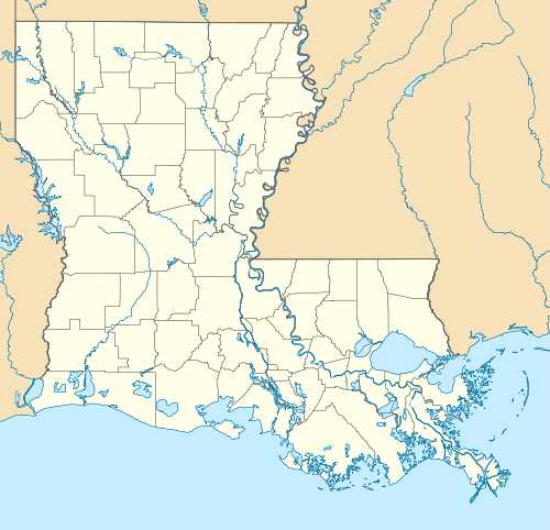
| Parish | St. Tammany |
| Elevation | 59 ft (18 m) |
| Time zone | Central (CST) (UTC-6) |
| • Summer (DST) | CDT (UTC-5) |
| ZIP code | 70464 |
| Area code(s) | 318 |
| GNIS feature ID | 1628324[1] |
Talisheek is an unincorporated community in St. Tammany Parish, Louisiana, United States. Talisheek is located on Louisiana Highway 435, 14 miles (23 km) east-northeast of Covington. Talisheek has a post office with ZIP code 70464.[2]
References
- ↑ "Talisheek". Geographic Names Information System. United States Geological Survey.
- ↑ United States Postal Service (2012). "USPS - Look Up a ZIP Code". Retrieved 2012-02-15.
Municipalities and communities of St. Tammany Parish, Louisiana, United States | ||
|---|---|---|
| Cities | 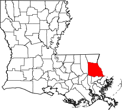 | |
| Towns | ||
| Villages | ||
| CDPs | ||
| Unincorporated communities | ||
This article is issued from Wikipedia - version of the 7/31/2016. The text is available under the Creative Commons Attribution/Share Alike but additional terms may apply for the media files.