Suðureyri
| Suðureyri | |
|---|---|
| Village | |
|
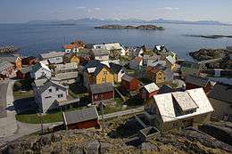
Suðureyri, June 2008 | |
 Location of the Municipality of Ísafjarðarbær | |
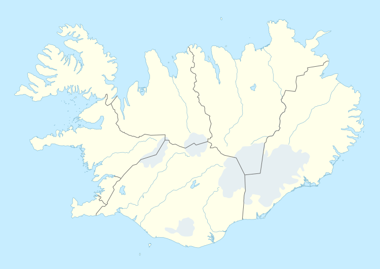 Suðureyri Location of the Municipality of Ísafjarðarbær | |
| Coordinates: 66°07′N 23°32′W / 66.117°N 23.533°W | |
| Country |
|
| Constituency[1] | Northwest Constituency |
| Region[2] | Westfjords |
| Municipality | Ísafjarðarbær |
| Population (January 2011) | |
| • Total | 312 |
| Time zone | GMT (UTC+0) |
| Póstnúmer | 430 |

Suðureyri is a small Icelandic fishing village perched on the tip of the 13 km-long Súgandafjörður in the Westfjords.
The community was isolated for years by the huge mountains and rough road that led over them. Now it is connected to Ísafjörður by a 5 km tunnel.
The village has tours set up to allow visitors to experience traditional Icelandic life firsthand. This includes going out on original fishing boats or visiting the fish factory in town.
Amenities include a geothermal swimming pool, campsite, hotel and a restaurant.
References
External links

Coordinates: 66°07′N 23°32′W / 66.117°N 23.533°W
This article is issued from Wikipedia - version of the 3/21/2016. The text is available under the Creative Commons Attribution/Share Alike but additional terms may apply for the media files.