Stafford Springs, Mississippi
| Stafford Springs, Mississippi | |
|---|---|
| Unincorporated community | |
 Stafford Springs, Mississippi  Stafford Springs, Mississippi | |
| Coordinates: 31°54′18″N 88°56′00″W / 31.90500°N 88.93333°WCoordinates: 31°54′18″N 88°56′00″W / 31.90500°N 88.93333°W | |
| Country | United States |
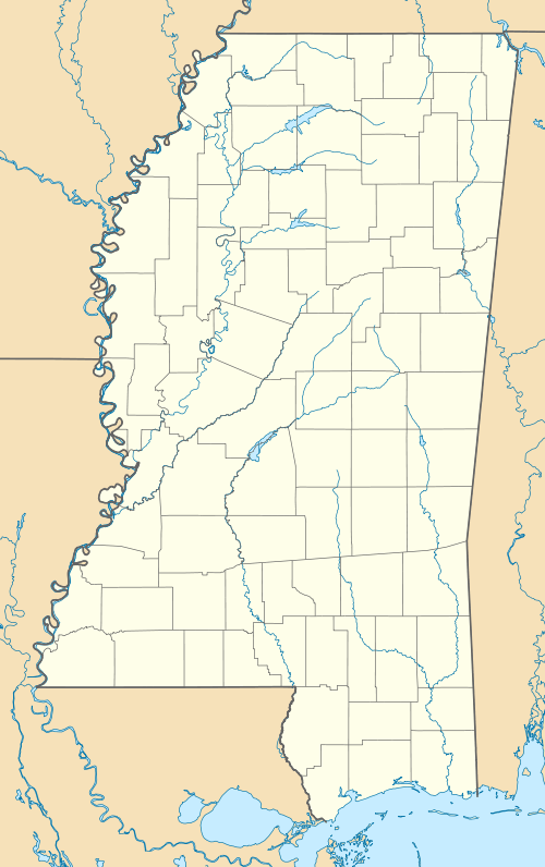
| State | Mississippi |
| County | Jasper |
| Elevation | 413 ft (126 m) |
| Time zone | Central (CST) (UTC-6) |
| • Summer (DST) | CDT (UTC-5) |
| Area code(s) | 601 & 769 |
| GNIS feature ID | 678203[1] |
Stafford Springs, Mississippi is an unincorporated community located in Jasper County, Mississippi, United States, along U.S. Route 11.[1]
About 42 miles south of Meridian, it is the current location of the Stafford Mineral Springs (once considered to be part of nearby Vossburg) which thrived during the early 1900s.
Stafford Springs came to be named after a Confederate veteran who settled near the town of Vossburg following the Civil War, Captain Edward W. Stafford.[2]
References
- 1 2 "Stafford Springs, Mississippi". Geographic Names Information System. United States Geological Survey.
- ↑ Stafford Springs history
Municipalities and communities of Jasper County, Mississippi, United States | ||
|---|---|---|
| City | 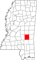 | |
| Towns | ||
| Unincorporated communities | ||
| Ghost town | ||
This article is issued from Wikipedia - version of the 7/30/2016. The text is available under the Creative Commons Attribution/Share Alike but additional terms may apply for the media files.