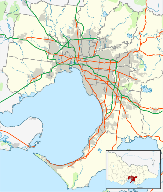
St Andrews, Victoria
| St Andrews Victoria | |||||||||||||
|---|---|---|---|---|---|---|---|---|---|---|---|---|---|
 St Andrews Hotel | |||||||||||||
 St Andrews | |||||||||||||
| Coordinates | 37°35′38″S 145°16′08″E / 37.594°S 145.269°ECoordinates: 37°35′38″S 145°16′08″E / 37.594°S 145.269°E | ||||||||||||
| Population | 1,138 (2011 census)[1] | ||||||||||||
| Postcode(s) | 3761 | ||||||||||||
| Elevation | 209 m (686 ft) | ||||||||||||
| Location |
| ||||||||||||
| LGA(s) | Shire of Nillumbik | ||||||||||||
| State electorate(s) | Eildon | ||||||||||||
| Federal Division(s) | McEwen | ||||||||||||
| |||||||||||||
St Andrews is a town in Victoria, Australia, 36 km north-east of Melbourne's Central Business District. Its local government area is the Shire of Nillumbik. At the 2011 Census, St Andrews had a population of 1,138.[1]
St Andrews is well known for its alternative market, which is open every Saturday from 8am to 2pm. It also contains a hotel, primary school, bakery, CFA, general store and a community centre.
History
Originally called Queenstown, the area was surveyed in 1858 and a town proclaimed on 25 February 1861.
St Andrew Post Office had opened earlier on 1 January 1856 and was renamed St Andrews in 1923.[2]
It experienced population growth during the Victorian gold rush, when prospectors mined the hills around the town. The first discovery of gold in Queenstown was recorded in The Herald on 9 and 11 March 1855 and was attributed to a George Boston and two Scotsmen.
In April 2015, it was named Victoria's Wealthiest Town, as a result of ATO statistios. The town beat Toorak and Portsea, traditional leaders in this ranking.
St Andrews has a great community feel and is much loved by its residents and visitors alike.
Bushfires
On 7 February 2009 a major bushfire destroyed houses on Ninks, Muller, Jacksons and Wild Dog Creek Roads, as well as Buttermans Track and Olives Lane.[3] Its progression toward the town centre was halted by a southerly wind change,[3] which saved the rest of the town, but drove the fire front further east, destroying the towns of Kinglake and Marysville.
See also
- Shire of Eltham - the former local government area of which St Andrews was a part
References
- 1 2 Australian Bureau of Statistics (31 October 2012). "St Andrews (State Suburb)". 2011 Census QuickStats. Retrieved 2007-07-05.
- ↑ Premier Postal History. "Post Office List". Retrieved 2008-04-11.
- 1 2 Jackson, William (8 February 2009). "St Andrews residents devastated after fires". Whittlesea Leader. Retrieved 2009-02-11.
External links
- St Andrews Queenstown Historical Society
- Victoria's wealthiest town? St Andrews remains rich in community spirit
- St Andrews the highest earning postcode in Victoria, beating Toorak and Portsea
- St Andrews Community Market