Slieveboy
| Sliabh bui | |
|---|---|
| Sliabh Buí | |
 From Camolin Park to the east | |
| Highest point | |
| Elevation | 420 m (1,380 ft) [1] |
| Prominence | 304 m (997 ft) [1] |
| Listing | Marylin |
| Coordinates | 52°39′22″N 6°29′22″W / 52.656234°N 6.489369°WCoordinates: 52°39′22″N 6°29′22″W / 52.656234°N 6.489369°W |
| Geography | |
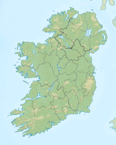 Sliabh bui Location in Ireland | |
| Location | Wexford, Republic of Ireland |
| OSI/OSNI grid | T022571 |
| Topo map | OSi Discovery 69 |
| Climbing | |
| Easiest route | Askamore gap from north |
Slieveboy (Irish: Sliabh Buí) is a mountain located in north County Wexford, Ireland.
Etymoogy
It is never called 'Slieveboy' by locals, but always its Irish form which is pronounced 'Shleeav Bwee'.
Geography
The mountain rises directly above the village of Ballyduff, midway between Carnew and Camolin. The mountain is, except for the area around the summit, completely covered in forest. There is a network of forest roads on the hill, and two communication masts on the summit.
References
- 1 2 "North Wexford Area - Slieveboy". MountainViews. Ordnance Survey Ireland. Retrieved July 1, 2015.
See also

Lists of Marilyns | |
|---|---|
This article is issued from Wikipedia - version of the 9/26/2016. The text is available under the Creative Commons Attribution/Share Alike but additional terms may apply for the media files.