Sanders, Montana
| Sanders | |
|---|---|
| Unincorporated community | |
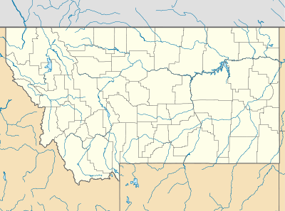 Sanders Location within the state of Montana | |
| Coordinates: 46°17′29″N 107°5′48″W / 46.29139°N 107.09667°WCoordinates: 46°17′29″N 107°5′48″W / 46.29139°N 107.09667°W | |
| Country | United States |
| State | Montana |
| County | Treasure |
| Elevation | 2,602 ft (793 m) |
| Time zone | Mountain (MST) (UTC-7) |
| • Summer (DST) | MDT (UTC-6) |
| ZIP codes | 59076 |
| GNIS feature ID | 776208[1] |
Sanders is an unincorporated community in northeastern Treasure County, Montana, United States, along the Yellowstone River. It lies along local roads east of the town of Hysham, the county seat of Treasure County.[2] Its elevation is 2,602 feet (793 m).[1] Sanders' post office first opened on 1904-03-30 and closed on 1905-10-14, only to be reopened on 1906-12-01. Although the post office finally closed on 1994-07-29,[3] the community still has a separate ZIP code of 59076.[4]
Climate
According to the Köppen Climate Classification system, Sanders has a semi-arid climate, abbreviated "BSk" on climate maps.[5]
References
- 1 2 "Sanders, Montana". Geographic Names Information System. United States Geological Survey.
- ↑ Rand McNally. The Road Atlas '08. Chicago: Rand McNally, 2008, p. 61.
- ↑ U.S. Geological Survey Geographic Names Information System: Sanders Post Office
- ↑ Zip Code Lookup
- ↑ Climate Summary for Sanders, Montana
Municipalities and communities of Treasure County, Montana, United States | ||
|---|---|---|
| Town | 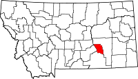 | |
| Unincorporated communities | ||
| Ghost town | ||
| Indian reservation | ||
| Footnotes | ‡This populated place also has portions in an adjacent county or counties | |
This article is issued from Wikipedia - version of the 7/28/2014. The text is available under the Creative Commons Attribution/Share Alike but additional terms may apply for the media files.