Sand River (Alberta)
| Sand River | |
|---|---|
| Country |
|
| Basin | |
| Main source |
675 meters (2,215 ft) 55°11′28″N 110°27′06″W / 55.19098°N 110.45159°W |
| River mouth |
Beaver River 526 meters (1,726 ft) 54°22′42″N 111°02′03″W / 54.37839°N 111.03428°WCoordinates: 54°22′42″N 111°02′03″W / 54.37839°N 111.03428°W |
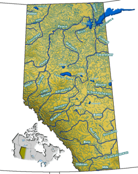
The Sand River is a major tributary of the Beaver River in Alberta, Canada.
Course
The Sand River originates in a system of lakes in northern Alberta, between Winefred Lake and Cold Lake and at an elevation of 675 meters (2,215 ft). From there it flows generally towards the south and west. It enters the Caribou Lake, then continues north-west and west until it receives the waters of Ipiatik River, then turns south. It flows between Standish Lake, Spencer Lake and Seibert Lake, east of the Lakeland Provincial Park, then receives the waters of Wolf River, west of Wolf Lake. It receives the Punk Creek from Pinehurst Lake before it is crosses by Highway 55 (part of the Northern Woods and Water Route) at Truman. It then turns eastwards and flows into the Beaver River, at an elevation of 526 meters (1,726 ft).
Tributaries
- Caribou Lake
- Ipiatik River
- Wolf River
- Punk Creek (from Pinehurst Lake)