San Marcos, Ocotepeque
For other uses, see San Marcos.
| San Marcos | |
|---|---|
| Municipality | |
 San Marcos | |
| Coordinates: 14°24′N 88°57′W / 14.400°N 88.950°W | |
| Country |
|
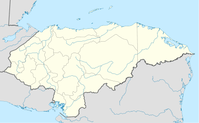
| Department | Ocotepeque |
| Villages | 14 |
| Area | |
| • Total | 165.09 km2 (63.74 sq mi) |
| Population (2015) | |
| • Total | 20,869 |
| • Density | 130/km2 (330/sq mi) |
| Postal code | 43201 |
San Marcos is a municipality in the Honduran department of Ocotepeque.
This city of 17,000 people is in Western Honduras bordering Guatemala and El Salvador. It's located between the highest point in Honduras, Mount Meredon, and the Rio Grande and Suntulin Rivers. It was founded by Spanish and Belgian gold miners. San Marcos de Ocotepeque is a bustle of cultural activity ranging from plays to literary events.
Sources
Capital: Ocotepeque | ||
| Municipalities |  | |
Coordinates: 14°24′N 88°57′W / 14.400°N 88.950°W
This article is issued from Wikipedia - version of the 11/30/2016. The text is available under the Creative Commons Attribution/Share Alike but additional terms may apply for the media files.