Saint-Vallier, Quebec
| Saint-Vallier | |
|---|---|
| Municipality | |
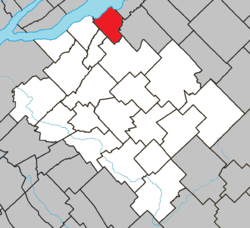 Location within Bellechasse RCM. | |
 Saint-Vallier Location in province of Quebec. | |
| Coordinates: 46°53′N 70°49′W / 46.883°N 70.817°WCoordinates: 46°53′N 70°49′W / 46.883°N 70.817°W[1] | |
| Country |
|
| Province |
|
| Region | Chaudière-Appalaches |
| RCM | Bellechasse |
| Constituted | March 10, 1993 |
| Government[2] | |
| • Mayor | Gilbert Vallières |
| • Federal riding | Lévis—Bellechasse |
| • Prov. riding | Bellechasse |
| Area[2][3] | |
| • Total | 60.50 km2 (23.36 sq mi) |
| • Land | 44.64 km2 (17.24 sq mi) |
| Population (2011)[3] | |
| • Total | 1,046 |
| • Density | 23.4/km2 (61/sq mi) |
| • Pop 2006-2011 |
|
| • Dwellings | 516 |
| Time zone | EST (UTC−5) |
| • Summer (DST) | EDT (UTC−4) |
| Postal code(s) | G0R 4J0 |
| Area code(s) | 418 and 581 |
| Highways |
|
| Website |
www bellechasse |
Saint-Vallier
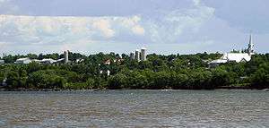
Saint-Vallier is a municipality of about 1,100 people in Bellechasse Regional County Municipality in the Chaudière-Appalaches administrative region of Quebec in Canada.
References
 |
Saint-Jean-de-l'Île-d'Orléans Saint Lawrence River |
Berthier-sur-Mer | | |
| Saint-Michel-de-Bellechasse | |
Saint-François-de-la-Rivière-du-Sud | ||
| ||||
| | ||||
| La Durantaye | Saint-Raphaël |
| Municipalities | |
|---|---|
| Parishes | |
| |
This article is issued from Wikipedia - version of the 2/28/2014. The text is available under the Creative Commons Attribution/Share Alike but additional terms may apply for the media files.