Motagaon
| Sagwara | |
|---|---|
| City | |
| Nickname(s): Mini Mumbai | |
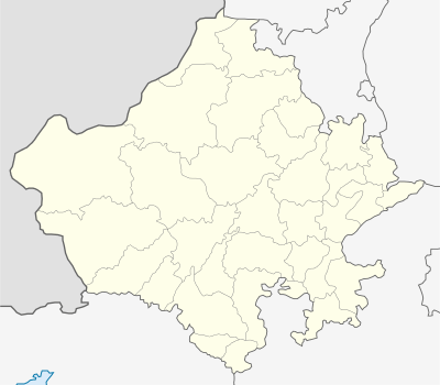 Sagwara  Sagwara Location in Rajasthan, India | |
| Coordinates: 23°40′05″N 74°01′28″E / 23.66806°N 74.02444°ECoordinates: 23°40′05″N 74°01′28″E / 23.66806°N 74.02444°E | |
| Country | India |
| State | Rajasthan |
| District | Dungarpur |
| subdivision | Sagwara,subdistrict |
| Government | |
| • Body | SUB DIVISIONAL MAGISTRATE |
| Area rank | 1 |
| Elevation | 244 m (801 ft) |
| Population (2015) | |
| • Total | 50,000 |
| Languages | |
| • Official | Hindi,Gujarati,Wagdi,English |
| Time zone | IST (UTC+5:30) |
| Website | http://sagwara.webs.com/ |
Sagwara is a village, often regarded as future Udaipur, is a municipality in Dungarpur district in the Indian state of Rajasthan. It is a place famous for gold business, Wholesale grocery,Fireworks,Marble and also a gateway to world-famous Dargah in the nearby town of Galiyakot.[1] It is one of two towns in Sagwara Tehsil, and the administrative center for the tehsil.there are 8 jain temple and one of them yogendra giri(DIGAMBER JAIN'S FAMOUS TEMPEL & ALSO ATISHAY KSHETRA OF ADINATH TIRTHANKAR) its also famous .This temple allocated on mountain.
Geography and economy
Sagwara is located in east central Dungarpur district in Sagwara Tehsil.[2] It has an average elevation of 244 metres (801 ft). Sagwara is famous for its sculpture, marble carving, temple architecture and gold jewelry. It is a major trading hub for nearby villages.
Demographics
While in the 2001 Indian census, Sagwara had a population of 30,993,[3] by the 2011 census that number had dropped to 29,439.[1] Males, while still fewer than females, increased their percentage from 49.3% to 49.9% of the population from 2001 to 2011. Sagwara significantly increased their average literacy rate from 2001 to 2011 going from 59% to 79%. Male literacy rose from 68% to 88%, and female literacy rose from 50% to 71%. From 2001 to 2011 the population in Sagwara aged, going from 16% below the age of six, to 13%.[1][3]
Sagwara is the third largest populated place after Banswara and Dungapur in the historical Vagar area of Rajasthan. Majority of the population belongs to Hindu religion and it also has a significant population of Jains and Dawoodi Bohras(A shia ismaili Muslim community).
Notes and references
- 1 2 3 Census Commission of India. "Sagwara Population Census 2011". Census 2011. Archived from the original on 17 April 2015.
- ↑ "District Wise Health Facilities: District Map: Dungarpur District". National Health Mission (NHM), Government of Rajastha. Archived from the original on 19 March 2015.
- 1 2 "Census of India 2001: Data from the 2001 Census, including cities, villages and towns". Census Commission of India. Archived from the original on 16 June 2004.