Rozhniativ
| Rozhniativ Рожнятів | |
|---|---|
| Town | |
 | |
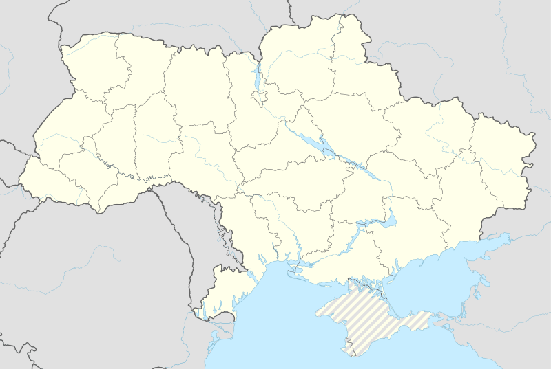 Rozhniativ Location of Rozhniativ, Ukraine | |
| Coordinates: UA 48°56′11″N 24°09′17″E / 48.93639°N 24.15472°ECoordinates: UA 48°56′11″N 24°09′17″E / 48.93639°N 24.15472°E | |
| Country | Ukraine |
| Oblast | Ivano-Frankivsk Oblast |
| Raion | Rozhniativ |
| Area | |
| • Total | 19.23 km2 (7.42 sq mi) |
| Elevation | 367 m (1,204 ft) |
| Population (2016) | |
| • Total | 3,947 |
| • Density | 208.16/km2 (539.1/sq mi) |
| Area code(s) | +380 3474 |
| Website | селище Рожнятів (Ukrainian) |
Rozhniativ (Ukrainian: Рожня́тів; formerly: Рожнітів, Polish: Rożniatów, Rozhnitiv) is an urban-type settlement in Ivano-Frankivsk Oblast, Ukraine. It is the administrative center of the Rozhniativ Raion. Population: 3,947 (2016 est.)[1].
Location
- Local orientation
 |
Svarychiv | Svarychiv | Svarychiv | |
| Nyzhniy Strutyn | |
Rivnya | ||
| ||||
| | ||||
| Verkhniy Strutyn Yasenovets |
Tsineva | Sloboda Rivnyanska |
- Regional orientation
| |
Dolyna Bolekhiv |
Broshniv-Osada | Kalush Voinyliv |
|
| Slavske (Lviv Oblast) |
|
Ivano-Frankivsk | ||
| ||||
| | ||||
| Zakarpattia | Perehinske | Bohorodchany Nadvirna |
References
- ↑ "Чисельність наявного населення України (Actual population of Ukraine)" (PDF) (in Ukrainian). State Statistics Service of Ukraine. Retrieved 19 July 2016.
External links
- Photographs of Jewish sites in Rozhniativ in Jewish History in Galicia and Bukovina
- weather.in.ua (Ukrainian)
| Raions | |||||||
|---|---|---|---|---|---|---|---|
| Cities |
| ||||||
| |||||||
This article is issued from Wikipedia - version of the 7/19/2016. The text is available under the Creative Commons Attribution/Share Alike but additional terms may apply for the media files.