Ross River Airport
| Ross River Airport | |||||||||||
|---|---|---|---|---|---|---|---|---|---|---|---|
| IATA: XRR – ICAO: CYDM | |||||||||||
| Summary | |||||||||||
| Airport type | Public | ||||||||||
| Operator | Government of Yukon | ||||||||||
| Location | Ross River, Yukon | ||||||||||
| Time zone | PST (UTC−08:00) | ||||||||||
| • Summer (DST) | PDT (UTC−07:00) | ||||||||||
| Elevation AMSL | 2,359 ft / 719 m | ||||||||||
| Coordinates | 61°58′14″N 132°25′20″W / 61.97056°N 132.42222°WCoordinates: 61°58′14″N 132°25′20″W / 61.97056°N 132.42222°W | ||||||||||
| Map | |||||||||||
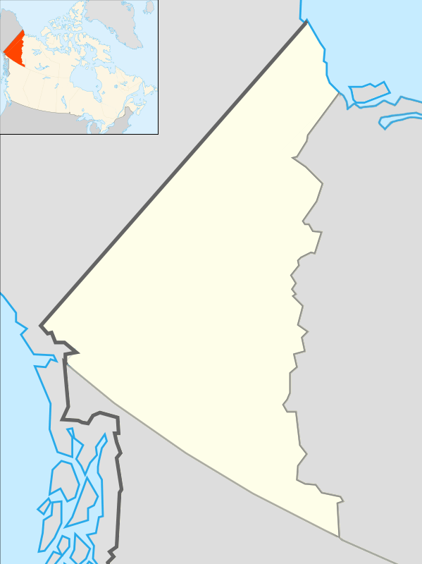 CYDM Location in Yukon | |||||||||||
| Runways | |||||||||||
| |||||||||||
|
Source: Canada Flight Supplement[1] | |||||||||||
Ross River Airport (IATA: XRR[2], ICAO: CYDM) is located 1 nautical mile (1.9 km; 1.2 mi) south of Ross River, Yukon, Canada.
References
- ↑ Canada Flight Supplement. Effective 0901Z 15 September 2016 to 0901Z 10 November 2016
- ↑ Accident history for Ross River Airport (IATA: XRR) at Aviation Safety Network
| By name | |
|---|---|
| By location indicator | |
| By province/territory | |
| By region | |
| National Airports System | |
| Related | |
| |
This article is issued from Wikipedia - version of the 12/4/2016. The text is available under the Creative Commons Attribution/Share Alike but additional terms may apply for the media files.