Rokewood Junction, Victoria
| Rokewood Junction Victoria | |||||||||||||
|---|---|---|---|---|---|---|---|---|---|---|---|---|---|
 Rokewood Junction | |||||||||||||
| Coordinates | 37°50′39″S 143°40′39″E / 37.84428°S 143.67742°ECoordinates: 37°50′39″S 143°40′39″E / 37.84428°S 143.67742°E | ||||||||||||
| Postcode(s) | 3330 | ||||||||||||
| Location | |||||||||||||
| LGA(s) | Golden Plains Shire | ||||||||||||
| State electorate(s) | Polwarth | ||||||||||||
| Federal Division(s) | Corangamite | ||||||||||||
| |||||||||||||
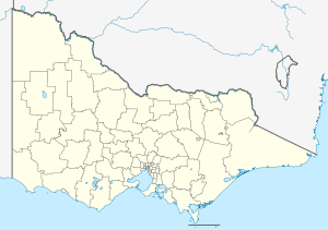
Rokewood Junction is a locality in Victoria, Australia in the Golden Plains Shire, 140 kilometres (87 mi) west of the state capital, Melbourne.
References
This article is issued from Wikipedia - version of the 2/4/2016. The text is available under the Creative Commons Attribution/Share Alike but additional terms may apply for the media files.