Almirante Padilla Airport
| Almirante Padilla Airport Aeropuerto Almirante Padilla | |||||||||||
|---|---|---|---|---|---|---|---|---|---|---|---|
| IATA: RCH – ICAO: SKRH | |||||||||||
| Summary | |||||||||||
| Airport type | Public | ||||||||||
| Operator | Aerocivil | ||||||||||
| Serves | Riohacha, Colombia | ||||||||||
| Elevation AMSL | 43 ft / 13 m | ||||||||||
| Coordinates | 11°31′34″N 72°55′33″W / 11.52611°N 72.92583°WCoordinates: 11°31′34″N 72°55′33″W / 11.52611°N 72.92583°W | ||||||||||
| Map | |||||||||||
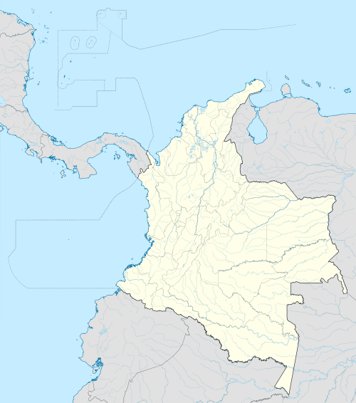 RCH Location of airport in Colombia | |||||||||||
| Runways | |||||||||||
| |||||||||||
| Statistics (2009) | |||||||||||
| |||||||||||
|
Sources: | |||||||||||
Almirante Padilla Airport (Spanish: Aeropuerto Almirante Padilla) (IATA: RCH, ICAO: SKRH) is an airport located near Riohacha, a city in the Guajira Department of Colombia. It is served by Avianca and, formerly, by Tiara Air .
Airlines and destinations
| Airlines | Destinations |
|---|---|
| Avianca | Bogotá |
References
External links
This article is issued from Wikipedia - version of the 7/16/2016. The text is available under the Creative Commons Attribution/Share Alike but additional terms may apply for the media files.