Rangiya Junction railway station
Rangiya Junction | |
|---|---|
| Indian Railway Junction Station | |
 Rangia Junction | |
| Location |
Rangia, Assam India |
| Coordinates | 26°26′50″N 91°36′20″E / 26.4472°N 91.6056°ECoordinates: 26°26′50″N 91°36′20″E / 26.4472°N 91.6056°E |
| Elevation | 53 metres (174 ft) |
| Owned by | Indian Railways |
| Operated by | Northeast Frontier Railway |
| Line(s) |
New Bongaigaon-Guwahati section Rangia-Murkongselek section Barauni-Guwahati line |
| Platforms | 5 |
| Construction | |
| Structure type | Standard on ground |
| Parking | No |
| Bicycle facilities | No |
| Disabled access |
|
| Other information | |
| Status | Functioning |
| Station code | RNY |
| Division(s) | Rangiya railway division |
| History | |
| Opened | 1909 |
| Location | |
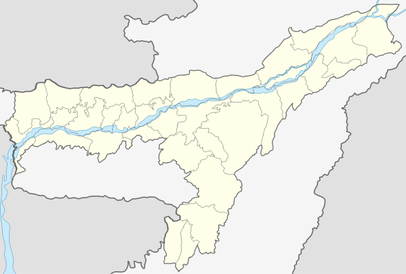 Rangia railway station Location in Assam | |
Rangiya Junction railway station is a junction station on the New Bongaigaon-Guwahati section of Barauni-Guwahati line, and Rangia-Tezpur line of Rangia-Murkongselek section. It is located in Kamrup district in the Indian state of Assam. It serves Rangia and the surrounding areas.
History
In 1883–84 the 1,000 mm (3 ft 3 3⁄8 in) wide metre gauge line of Assam Behar State Railway met the Eastern Bengal Railway’s 1,676 mm (5 ft 6 in) wide broad gauge line at Parbatipur. It reached Katihar in 1888-89 and in 1909 it reached Amingaon on the banks of the Brahmaputra, which could be crossed by ferry to reach Guwahati.[1]
The new broad gauge track from New Bongaigaon to Guwahati was commissioned in 1984.[2]
Saraighat Bridge opened in 1962, initially carried metre gauge tracks, which was later replaced by broad gauge tracks.[3]
The 450 km (280 mi) long Rangia-Murkongselek line is being converted from 1,000 mm (3 ft 3 3⁄8 in) wide metre gauge to 1,676 mm (5 ft 6 in) wide broad gauge. As of 2013, the work is expected to be completed soon.[4]
Electrification
Electrification of the Barauni-Katihar-Guwahati line was sanctioned in 2008.[5] In the document on Vision 2020 – A Blue Print for Railway Electrification Programme, in the list of ongoing projects the entire route km (836) is shown as balance work as on 1 April 2010.[6]
Track doubling
Doubling of the track between New Bongaigaon and Kamakhya via Rangia has been approved in the railway budget for 2013-14.[7]
References
- ↑ John Hurd and Ian J.Kerr. "India's Railway History: A Research Handbook". page 175, table 6-3. Koninklijke Brill NV, Leien, The Netherlands. ISBN 978-90-04-23003-3. Retrieved 12 May 2013.
- ↑ "IR History: Part V (1970-19950". IRFCA. Retrieved 12 May 2013.
- ↑ "50 yers of Saraighat bridge". The Times of India, 7 November 2012. Retrieved 12 May 2013.
- ↑ "Arunachal Pradesh soon on railway map". The Hindu Business Line, 29 February 2012. Retrieved 12 May 2013.
- ↑ "CCEA approves Rs. 506 crores for Barauni-Katihar-Guwahati section". Projects Today. Retrieved 12 May 2013.
- ↑ "Vision 2020 – A Blue Print for Railway Electrification Programme" (PDF). Ministry of Railways, Government of India. Retrieved 12 May 2013.
- ↑ "Rail budget 2013: Wait for electric trains in India's North-East gets longer". First post economy. Retrieved 12 May 2013.
External links
![]() Rangia travel guide from Wikivoyage
Rangia travel guide from Wikivoyage
| Preceding station | Indian Railway | Following station | ||
|---|---|---|---|---|
Ghoghrapar | Northeast Frontier Railway zone | Kendukana |
||
| Terminus | Northeast Frontier Railway zone Rangia-Murkongselek line | Goreswar |
| NEFR |
| ||||||||||||||||||
|---|---|---|---|---|---|---|---|---|---|---|---|---|---|---|---|---|---|---|---|