Golokganj railway station
Golokganj | |
|---|---|
| Indian Railway Junction Station | |
| Location |
Golokganj, Distt: Dhubri, Assam India |
| Coordinates | 26°06′30″N 89°49′51″E / 26.1083°N 89.8307°ECoordinates: 26°06′30″N 89°49′51″E / 26.1083°N 89.8307°E |
| Elevation | 31 metres (102 ft) |
| Owned by | Indian Railways |
| Operated by | Northeast Frontier Railway |
| Line(s) |
Fakiragram-Dhubri branch line New Cooch Behar-Golokganj branch line. |
| Platforms | 1 |
| Construction | |
| Structure type | Standard on ground |
| Parking | No |
| Bicycle facilities | No |
| Other information | |
| Status | Functioning |
| Station code | GKJ |
| Division(s) | Alipurduar |
| History | |
| Opened | 1900-1910? |
| Previous names | Eastern Bengal Railway |
| Location | |
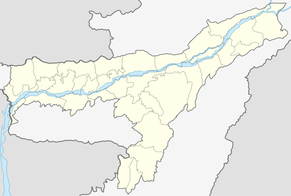 Golokganj railway station Location in Assam | |
Golokganj is a railway junction station on the Fakiragram-Dhubri branch line and the New Cooch Behar-Golokganj branch line. A new line is being laid to connect Golokganj with Jogihopa. It is located in Dhubri district in the Indian state of Assam.
Geography
Dhubri district occupies the south-west corner of Assam. It borders on Bangladesh, and the Indian states of West Bengal and Meghalaya. The Brahmaputra divides the district into two parts. Tributaries of the Brahmaputra such as Gangadhar, Gaurang, Tipkai, Champamoti in the north and Jinjiram, Jinari and Kaloo in the south are all major contributors of floods in the area.[1][2]
History
In pre-independence days (in the early 1900s), there was a 1,000 mm (3 ft 3 3⁄8 in) wide metre gauge line: Katihar - Radhikapur - Biral - Parbatipur - Tista - Gitaldaha - Golakganj – Fakiragram.[3]
With the partition of India in 1947, railways in Assam got delinked from that of the rest of India. Indian Railway took up the Assam Link Project in 1948 to build a metre gauge rail link between Fakiragram and Kishanganj. Fakiragram was connected to the Indian railway system in 1950.[4]
In the mid sixties, the first 1,676 mm (5 ft 6 in) wide broad gauge line was laid in the area from New Jalpaiguri to Jogihopa via New Bongaigaon.[5][6]
The Fakiragram-Dhubri line was opened in September 2010 after conversion to broad gauge.[7]
Up to the sixties there was a railway link from Cooch Behar to Dhubri via Golokganj. It was then known as the Assam Line Railway Service. It also connected East Pakistan, even after partition. However, collapse of the rail-cum-road bridge over the Gadadhar in the seventies ended that link. The bridge has been rebuilt and the track laid again as broad gauge, entirely through Indian territory. The line became operable in 2012.[8] Dhubri-New Jalpaiguri Inter-city Express via New Cooch Behar was introduced in February 2012.[9]
References
- ↑ "Dhubri district at a glance". Dhubri district administration. Retrieved 2013-05-10.
- ↑ "District Disaster Management Plan of Dhubri" (PDF). Dhubri district administration. Retrieved 2013-05-10.
- ↑ "Geography - International". IRFCA. Retrieved 2011-12-10.
- ↑ "India: the complex history of the junctions at Siliguri and New Jalpaiguri". IRFCA. Retrieved 2011-11-12.
- ↑ "Some Milestones of NF Railway". Retrieved 2012-01-28.
- ↑ "Gauge conversion project in Assam". The Hindu Business Line, 24 May 2000. Retrieved 2011-12-10.
- ↑ "Mamata flags off two trains- Dhubri-Kamakhya link after 22-year wait". The Telegraph, 14 September 2010. Retrieved 2011-12-10.
- ↑ "Dhubri-Bengal Link Soon". The Telegraph, 29 December 2011. Retrieved 2012-02-02.
- ↑ "Two new trains flagged off". The Telegraph, 12 February 2012. Retrieved 2012-05-10.
External links
| Preceding station | Indian Railway | Following station | ||
|---|---|---|---|---|
Moterjhar | Northeast Frontier Railway zone | Gauripur |
||
| Terminus | Northeast Frontier Railway zone | Agomoni |
| NEFR |
| ||||||||||||||||||
|---|---|---|---|---|---|---|---|---|---|---|---|---|---|---|---|---|---|---|---|