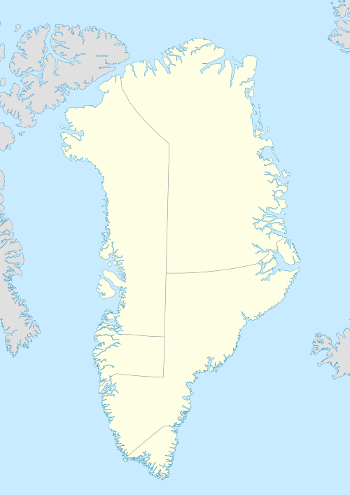
Qaarsorsuatsiaq Island
 Qaarsorsuatsiaq | |
| Geography | |
|---|---|
| Location | Greenland |
| Coordinates | 73°11′N 56°15′W / 73.183°N 56.250°WCoordinates: 73°11′N 56°15′W / 73.183°N 56.250°W |
| Archipelago | Upernavik Archipelago |
| Administration | |
|
Greenland | |
| Municipality | Qaasuitsup |
Qaarsorsuatsiaq Island (old spelling: Qaersorssuatsiaq) is an island in the Qaasuitsup municipality in northwestern Greenland.
Geography
Qaarsorsuatsiaq Island is located in the outer belt of islands in Tasiusaq Bay, in the south-central part of Upernavik Archipelago. The inner waterways of Tasiusaq Bay separate it from Innaarsuit Island in the east. Several skerries buffer the western coast of the island.[1] The highest point on the island is an unnamed peak in the west, reaching 320 m (1,050 ft).[1]
References
This article is issued from Wikipedia - version of the 11/17/2016. The text is available under the Creative Commons Attribution/Share Alike but additional terms may apply for the media files.