Nasaussap Saqqaa
| Nasaussap Saqqaa | |
|---|---|
| Ussing Icefjord | |
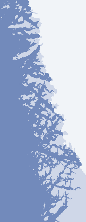 Nasaussap Saqqaa (Upernavik Archipelago) | |
| Location | Upernavik Archipelago |
| Coordinates | 73°54′N 56°05′W / 73.900°N 56.083°WCoordinates: 73°54′N 56°05′W / 73.900°N 56.083°W |
| Ocean/sea sources | Baffin Bay |
| Basin countries | Greenland |
| Max. length | 29.8 km |
Nasaussap Saqqaa (old spelling: Nasaussap Sarqâ, Danish: Ussing Isfjord) is a fjord in the Qaasuitsup municipality in northwestern Greenland.[1]
Geography
The 29.8 km (18.5 mi) long fjord is an inlet of Sugar Loaf Bay, flowing to the west-north-west between Qullikorsuit Island in the southwest, and the Amitsorsuaq and Nasaussaq islands in the north. The Ussing Glacier or Ussing Bræer Glacier drains the Greenland ice sheet into the head of the fjord.[2] The shores of Nasaussap Saqqaa are uninhabited; the closest settlement is Nuussuaq on a peninsula of the same name, 26.5 km (16.5 mi) to the northwest of the fjord mouth.
References
- ↑ Upernavik Avannarleq, Saga Map, 1:250.000, Tage Schjøtt, 1992
- ↑ Ussing Bræer
External links
This article is issued from Wikipedia - version of the 4/6/2016. The text is available under the Creative Commons Attribution/Share Alike but additional terms may apply for the media files.