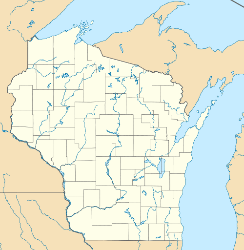
Porterfield (community), Wisconsin
| Porterfield, Wisconsin | |
|---|---|
| Unincorporated community | |
|
Porterfield welcome sign on Church Street | |
 Porterfield, Wisconsin  Porterfield, Wisconsin | |
| Coordinates: 45°09′16″N 87°47′40″W / 45.15444°N 87.79444°WCoordinates: 45°09′16″N 87°47′40″W / 45.15444°N 87.79444°W | |
| Country | United States |
| State | Wisconsin |
| County | Marinette |
| Elevation | 666 ft (203 m) |
| Time zone | Central (CST) (UTC-6) |
| • Summer (DST) | CDT (UTC-5) |
| ZIP code | 54159 |
| Area code(s) | 715 & 534 |
| GNIS feature ID | 1571805[1] |
Porterfield is an unincorporated community located in the town of Porterfield, Marinette County, Wisconsin, United States. Porterfield is located along the Escanaba and Lake Superior Railroad 9 miles (14 km) west-northwest of Marinette.[2]
Porterfield has a post office with ZIP code 54159.[3] Porterfield had an elementary school that was part of the School District of Marinette and served approximately 120 students.[4] The elementary school was closed at the end of the 2006–2007 school year.[5][6][7]
- Porterfield post office
- The former Porterfield Elementary School
References
- ↑ U.S. Geological Survey Geographic Names Information System: Porterfield (community), Wisconsin
- ↑ Marinette County (PDF) (Map). Wisconsin Department of Transportation. Retrieved 2010-12-17.
- ↑ ZIP Code Lookup
- ↑ Vierbicher Associates, Inc. 2003. Town of Porterfield Comprehensive Plan
- ↑ "Fight to Keep Porterfield School Open Continues." Marinette & Menominee Eagle-Herald, 27 March 2007, page A1.
- ↑ "School Board Votes to Close Porterfield School." Marinette & Menominee Eagle-Herald, 8 May 2007, page A1.
- ↑ 2007-2008 Wisconsin Legislature. Assembly Bill 441.
This article is issued from Wikipedia - version of the 7/29/2016. The text is available under the Creative Commons Attribution/Share Alike but additional terms may apply for the media files.
