Paltus
- Paltus may also refer to a Russian Kilo class submarine
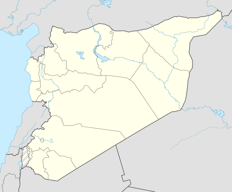 Shown within Syria | |
| Location | Syria |
|---|---|
| Region | Latakia Governorate |
| Coordinates | Coordinates: 35°16′02″N 35°55′32″E / 35.267222°N 35.925556°E |
Paltus or Paltos (Greek: Πάλτος) is a ruined city. It was also a bishopric, a suffragan of Seleucia Pieria in the Roman province of Syria Prima,[1] that, no longer being a residential see, is included in the Catholic Church's list of titular sees.[2]
The ruins of Paltus may be seen at Belde (Arab al-Mulk) at the south of Nahr al-Sin or Nahr al-Melek, the ancient Badan.
The town was founded by a colony from Arvad or Aradus (Arrianus, Anab. II, xiii, 17). It is located in Syria by Pliny the Elder (Hist. Natur., V, xviii) and Ptolemy (V, xiv, 2); Strabo (XV, iii, 2; XVI, ii, 12) places it near the river Badan. When the province of Theodorias was established by the Byzantine emperor Justinian I, Paltus became a part of it (Georgii Cyprii Descriptio orbis romani, ed. Heinrich Gelzer, 45).
From the sixth century according to the Notitia episcopatuum of Anastasius [Echos d'Orient, X, (1907), 144] it was an autocephalous archdiocese and depended on the patriarch of Antioch. In the tenth century it still existed and its precise limits are known [Echos d'Orient, X (1907), 97].
Le Quien (Oriens christianus, II, 799) mentions five of its bishops:
- Cymatius, friend of St. Athanasius, and Patricius, his successor
- Severus (381)
- Sabbas at the Council of Chalcedon in 451 AD
- John, exiled by the Monophysites and reinstated by Emperor Justin I in 518.
References
- ↑ "Paltus". Catholic Encyclopedia.
- ↑ Annuario Pontificio 2013 (Libreria Editrice Vaticana, 2013, ISBN 978-88-209-9070-1), p. 949
![]() This article incorporates text from a publication now in the public domain: Herbermann, Charles, ed. (1913). "article name needed". Catholic Encyclopedia. New York: Robert Appleton.
This article incorporates text from a publication now in the public domain: Herbermann, Charles, ed. (1913). "article name needed". Catholic Encyclopedia. New York: Robert Appleton.
Coordinates: 35°16′02″N 35°55′32″E / 35.267222°N 35.925556°E