Nerskogen, Sør-Trøndelag
| Nerskogen | |
|---|---|
| Village | |
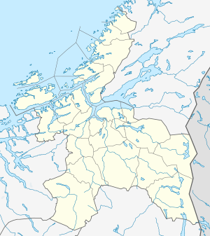 Nerskogen  Nerskogen Location in Sør-Trøndelag | |
| Coordinates: 62°46′58″N 09°36′29″E / 62.78278°N 9.60806°ECoordinates: 62°46′58″N 09°36′29″E / 62.78278°N 9.60806°E | |
| Country | Norway |
| Region | Trøndelag |
| County | Sør-Trøndelag |
| District | Orkdalen |
| Municipality | Rennebu |
| Elevation[1] | 727 m (2,385 ft) |
| Time zone | CET (UTC+01:00) |
| • Summer (DST) | CEST (UTC+02:00) |
| Post Code | 7393 Rennebu |
Nerskogen is a mountain village in the municipality of Rennebu in Sør-Trøndelag county, Norway. The village is located about 20 kilometres (12 mi) west of Voll and about 19 kilometres (12 mi) north of Vognillan in Oppdal. Nerskogen Chapel is located in the village.
References
- ↑ "Nerskogen" (in Norwegian). yr.no. Retrieved 2011-02-03.
This article is issued from Wikipedia - version of the 8/5/2016. The text is available under the Creative Commons Attribution/Share Alike but additional terms may apply for the media files.