Nara, Attock
| Nara | |
|---|---|
| Village and union council | |
|
Rural Landscape of Nara | |
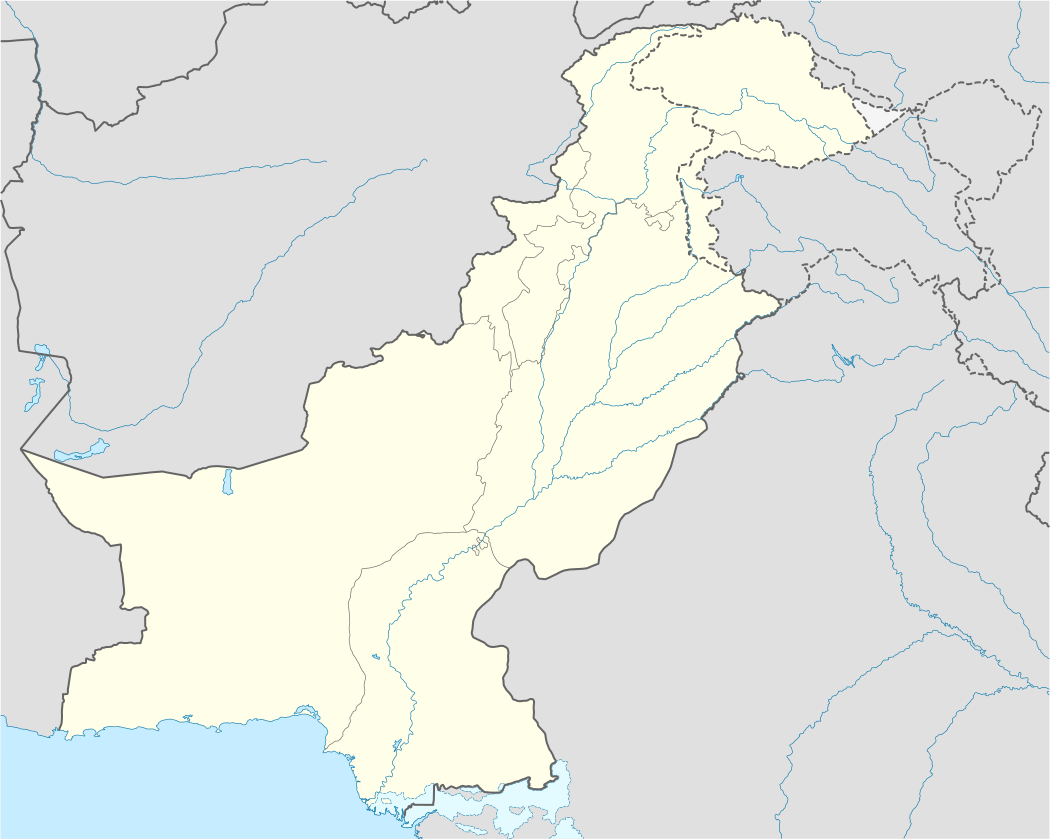 Nara Location in Pakistan | |
| Coordinates: 33°38′20″N 72°3′11″E / 33.63889°N 72.05306°E | |
| Country |
|
| Region | Punjab Province |
| District | Attock District |
| Tehsil | Jand |
| Time zone | PST (UTC+5) |
| Website | http://www.nara-attock.com/ |

Nara (ناڑہ) is a village and union council of Jand Tehsil, Attock District, Punjab Province, Pakistan.
Location
Nara is located 117 kilometers from Islamabad. It is situated five kilometres from the Indus River (دریائے سندھ) on the border between the Punjab and Khyber Pakhtunkhwa provinces of Pakistan.
Administration
Nara is a union council of five other surrounding villages: Pari, Dandi Jiswal, Kundrala, Jalwal and Mari. Some of the prominent mohallahs of the village include: Mohallah Tamman, Mohallah Ziarat, Mohallah Tairha Shirqi, Mohallah Ma’ian Sehna, Mohallah Bazar, Mohallah Lunger Khana, Mohallah Imam Bargah, and Mohallah Tappa.
Demographics

Approximately forty thousand people live in Nara. The literacy rate among village inhabitants is around 70 percent. Internet usage in the village is less than one per cent. Teledensity ratio in the village is around 75 per cent, including 5-7 per cent landline telephone subscribers.


Ethnically, Nara's inhabitants of the village can be divided into three groups: local Indians (Jats, →Arain← Bhati Rajputs, and Janjua Rajputs), Arabs (Awans, Khattar, and Fatimid Syeds), and Afghans (Khattak and some Bangash Pathans). Hindko is spoken in Nara, with some Pashto. Most of the village dwellers follow Sunni Hanafi Islam. Barelvi Sunnis, Deobandi Sunnis, and Shias also live here and there are more than twenty masjids (mosques) in the village.
History
The name of the village comes from Nar (نڑ), a bamboo variety common to the region. According to the Punjab Districts’ Gazetteers, Awans claimed the area after driving Janjua Rajputs out of the Salt Range.
The area was once used as an avenue for military excursions in India by various Arab, Afghan, Iranian, and Central Asian martial races. Long before that time, the area was used as a gateway for mobility between Taxila and the Central Asian states by Buddhists. Hindu traders also settled here and their remains can be found in the center of the village in the form of multi-storey buildings and some ancient Hindu temples (Dharamsaala).
During the pre-partition era, the British government of India heavily recruited army men from Nara. According to the Punjab District Gazetteer,[1] the then-Sikh emperor of Punjab Maharaja Ranjit Singh convinced local chiefs of Tehsil Jand, mainly Maliks and Khans, to send armed men to crush the Mujahideen Movement, led by Syed Ahmed Shaheed in Balakot. In return, the chiefs were awarded with thousands of kanals of land and other land revenue concessions. The Muhajir community settled in Nara after the partition of India in 1947. Nara became electrified in 1964. The construction of Nara-Jand Road is attributable to Abdul Maalik, who located Indian plane hijackers during the 1970s.[2]
Geography and climate
The area is mainly rain-fed, with fertile land. During the 1970s there was an abundance of water in the form of lakes, flowing streams, and ponds, but the level of underground water has since gone down. Jujube (بیر) fruit trees are very common in Nara. Persian water wheels (rehat), using cows and bulls, are still in use to irrigate crops and vegetables. Some of the land is also irrigated by tube wells.
Economy
Nara's economy is mainly agri-based. Small-scale conventional fruit farming is common. Wheat, peanut (منگ پھلی), corn, maize, millet, and pulses are some of the main crops. Livestock is another important source of income and employment in the village. Despite advancement in agricultural machinery, around one per cent of the village farmers still plough their land with the help of bulls and cows. Natural resources (oil and gas) are being extracted from the nearby Maari and Jalwal oil fields, which fall under the jurisdiction of the Nara Union Council.
Culture
Cultural events in Nara include bull racing and observing annual urs events in the local mosques. The berballa is a traditional folk dance similar to the Khattak dance, and is performed by men on dhols at weddings and other festive events. A specialty of Nara is Makhadi Halwa (مکھڈی حلوہ), a sweet dessert.[3]
Transportation
Several coaches and a Toyota Hiace service connect Nara with Rawalpindi/Islamabad via the Kohat-Fateh Jang Road. A local van (vagons) transport service connects Nara with Attock city via the Kala Chitta Range.
Places of interest
Places of interest in Nara include the Mohallah Ma'ian Sehna, a ruined Hindu Dharamsaal. Lorry Adda is the main bus stop in Nara. There are more than 15 government schools in Nara. Other buildings include telecom towers, a rural hospital, a Postoffice, and a bank,Muslim Commercial Bank, Nara Branch.
References
External links
| Wikisource has the text of the 1911 Encyclopædia Britannica article Nara (India). |
Coordinates: 33°38′20″N 72°3′11″E / 33.63889°N 72.05306°E