Mount Stephens (British Columbia)
| Mount Stephens | |
|---|---|
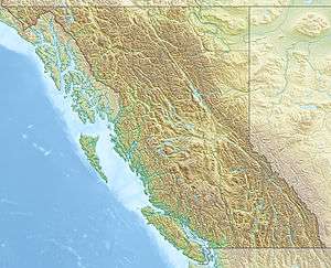 Mount Stephens Location in British Columbia | |
| Highest point | |
| Elevation | 1,592 m (5,223 ft) [1] |
| Prominence | 1,047 m (3,435 ft) [1] |
| Parent peak | Thumb Peak |
| Coordinates | 50°58′15″N 126°39′49″W / 50.97083°N 126.66361°WCoordinates: 50°58′15″N 126°39′49″W / 50.97083°N 126.66361°W [1] |
| Geography | |
| Location | British Columbia, Canada |
| Parent range | Pacific Ranges, Coast Mountains |
Mount Stephens, 1592 m (5223 feet), prominence 1047m,[1] also known as Quay, Kwe or k'we in Kwak'wala, is a mountain in the Pacific Ranges of the Coast Mountains in British Columbia, Canada, located in the Central Coast region, northeast of Nimmo Bay and Mackenzie Sound and west of Kingcome Inlet.[2]
As K'we, Mount Stephens was the home of the thunderbird to the Gwawaenuk, who when he descended from the mountain took human form and became the ancestor of that group of Kwakwaka'wakw, whose principal village is now at Hegams, i.e. Hopetown on Watson Island in the Broughton Archipelago, from which a view of this mountain can be seen and is featured in a woodcut by artist Walter Phillips.[3]
Name origin
Mount Stephens was named by Captain Vancouver after Sir Philip Stephens.[4]
See also
References
- 1 2 3 4 "Mount Stephens". Bivouac.com. Retrieved 2014-05-28.
- ↑ BC Names/GeoBC entry "Mount Stephens"
- ↑ Emily Carr - To The Totem Forests website
- ↑ Emily Carr - To The Totem Forests website