Mount Matheson
| Mount Matheson | |
|---|---|
 Mount Matheson | |
| Highest point | |
| Elevation | 292 m (958 ft) [1] |
| Prominence | 250 m (820 ft) [1] |
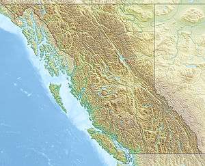
| Coordinates | 48°21′32″N 123°36′37″W / 48.35889°N 123.61028°WCoordinates: 48°21′32″N 123°36′37″W / 48.35889°N 123.61028°W [2] |
| Geography | |
| Location | British Columbia, Canada |
| Topo map | NTS 092B04 |
Mount Matheson, at 292 metres (958 ft), is the highest point in East Sooke, British Columbia. From the top there are panoramic views from Cape Flattery to Mount Baker.
References
- 1 2 "Mount Matheson". Bivouac.com. Retrieved 2010-05-09.
- ↑ "Mount Matheson". BC Geographical Names. Retrieved 2010-01-16.
This article is issued from Wikipedia - version of the 12/23/2013. The text is available under the Creative Commons Attribution/Share Alike but additional terms may apply for the media files.