Monte Castello (Liguria)
| Monte Castello | |
|---|---|
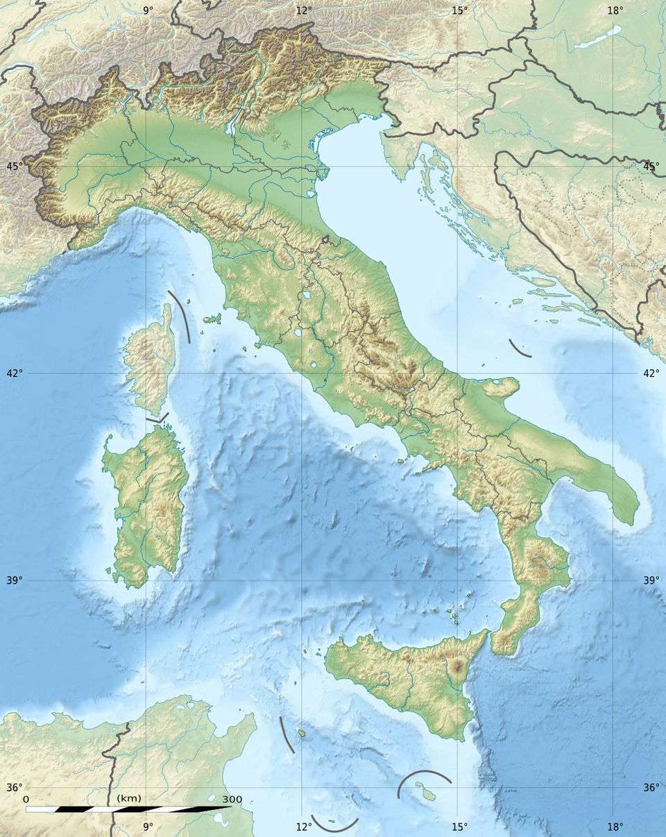 Monte Castello Location in Italy | |
| Highest point | |
| Elevation | 1,092 m (3,583 ft) [1] |
| Coordinates | 44°36′50″N 09°05′04″E / 44.61389°N 9.08444°ECoordinates: 44°36′50″N 09°05′04″E / 44.61389°N 9.08444°E |
| Geography | |
| Location | Liguria / Piemonte, Italy |
| Parent range | Ligurian Appennines |
Monte Castello is a mountain in Liguria, northern Italy, part of the Ligurian Appennines. It is located in the provinces of Genoa and Alessandria. It lies at an altitude of 1092 metres.
Conservation
The mountain since 1989 is included in the Parco naturale regionale dell'Antola.[2]
References
- ↑ 1:25.000 map of IGM, see www.pcn.minambiente.it
- ↑ Istituto Geografico Centrale - Carta dei sentieri 1:50.000 n. 16 Genova - Varazze -Ovada
This article is issued from Wikipedia - version of the 3/20/2016. The text is available under the Creative Commons Attribution/Share Alike but additional terms may apply for the media files.