Monte Carmo
For the alpine mountain, see Monte Carmo di Loano.
| Monte Carmo | |
|---|---|
 | |
| Highest point | |
| Elevation | 1,640 m (5,380 ft) |
| Coordinates | 44°36′54″N 09°11′56″E / 44.61500°N 9.19889°E |
| Geography | |
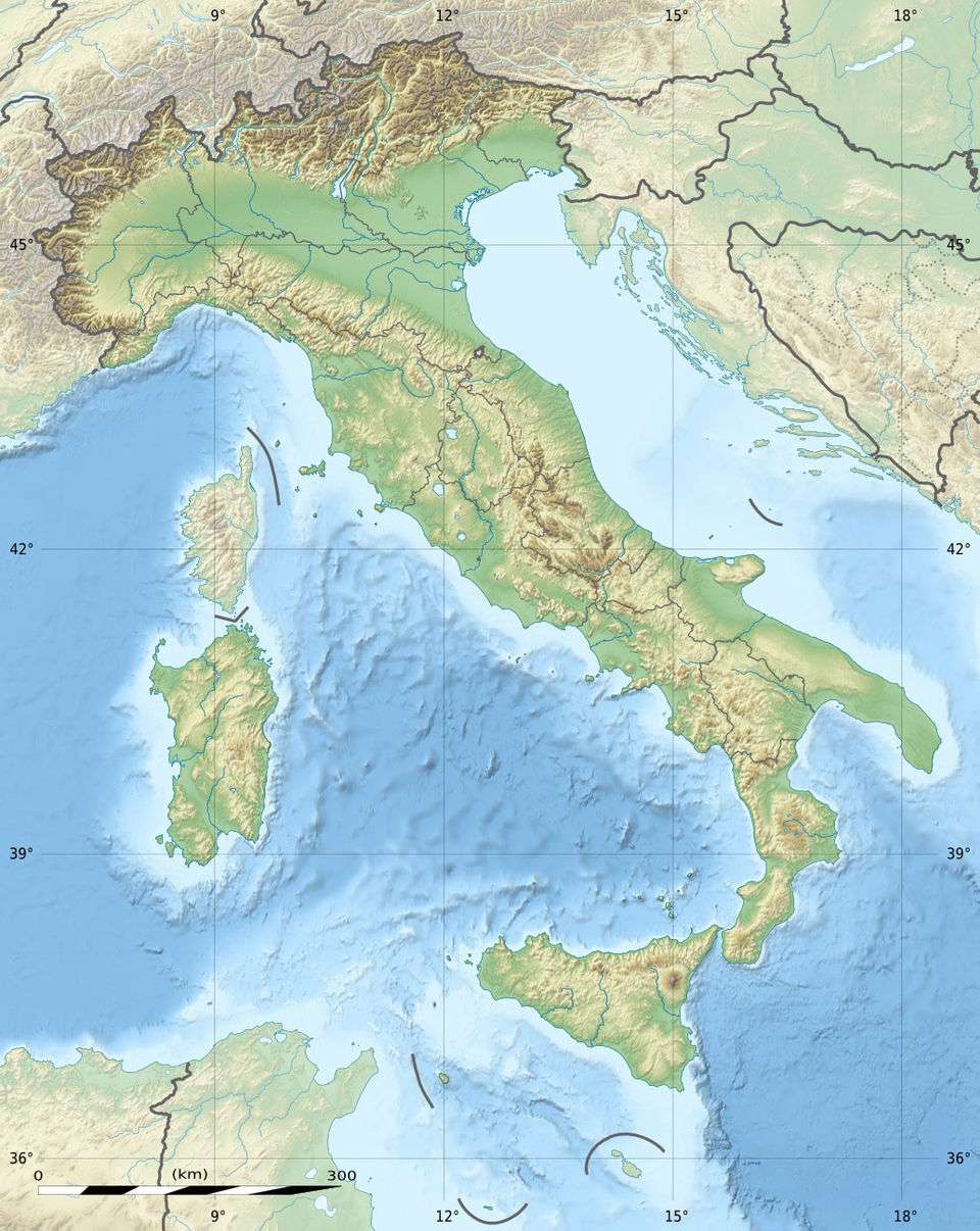 Monte Carmo Location in Italy | |
| Location | Liguria, Piedmont, Emilia-Romagna, Italy |
| Parent range | Ligurian Apennine |
Monte Carmo is a mountain in the Ligurian Apennine, northern Italy.
Geography
The mountain is located at the boundary between the three regions of Liguria, Piedmont and Emilia-Romagna. With an altitude of 1,640 metres (5,381 ft),[1] it is part of the Monte Antola Group. Nearby are the Val Borbera, Val Trebbia, Val Boreca and Valle Terenzone valleys. Its summit is a tripoint at which the borders of the regions of Piedmont, Emilia-Romagna and Liguria meet.
Hiking
Monte Carmo was crossed by the so-called "Lombard Salt Road", which from Pavia led to Torriglia and then to Genoa.
References
- ↑ Appennino ligure e tosco-emiliano, Marco Salvo and Daniele Canossini, Touring Club Italiano, 2003; books.google.it
External links
![]() Media related to Monte Carmo at Wikimedia Commons
Media related to Monte Carmo at Wikimedia Commons
This article is issued from Wikipedia - version of the 11/27/2016. The text is available under the Creative Commons Attribution/Share Alike but additional terms may apply for the media files.