Molt, Montana
| Molt, Montana | |
|---|---|
| Unincorporated community | |
 Molt, Montana  Molt, Montana | |
| Coordinates: 45°51′41″N 108°55′40″W / 45.86139°N 108.92778°WCoordinates: 45°51′41″N 108°55′40″W / 45.86139°N 108.92778°W | |
| Country | United States |
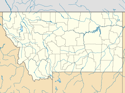
| State | Montana |
| County | Stillwater |
| Elevation | 3,966 ft (1,209 m) |
| Population (2010)[1] | |
| • Total | 597 |
| Time zone | Mountain (MST) (UTC-7) |
| • Summer (DST) | MDT (UTC-6) |
| ZIP code | 59057 |
| Area code(s) | 406 |
| GNIS feature ID | 777090[2] |
Molt is an unincorporated rural village located in Stillwater County, Montana, and has a post office serving ZIP code (59057), a hardware store, a cafe and several granaries.
The elevation is 3,966 feet. Molt appears on the Molt U.S. Geological Survey Map.
History
Molt thrived as a busy and well developed agricultural community on the edge of Stillwater county. Several large grain elevators were erected and a few historic buildings are still standing today. The Northern Pacific Railway had a stop in Molt en route to Rapelje and Hesper.
Although the town has declined significantly with the withdrawal of the railroad, a few of its elevators are still in operation.
A post office was first established in the Molt area in 1909. The office was originally known as Stickley and was located on a nearby ranch. In 1918, the office was moved to town and the name changed to Molt (named for the person who donated the land for the townsite).
References
- ↑ "American FactFinder". United States Census Bureau. Retrieved 2011-05-14.
- ↑ "Molt". Geographic Names Information System. United States Geological Survey.
Municipalities and communities of Stillwater County, Montana, United States | ||
|---|---|---|
| Town |  | |
| CDPs | ||
| Unincorporated communities | ||
| Ghost towns | ||