Millsholm, California
Coordinates: 39°32′24″N 122°20′41″W / 39.54000°N 122.34472°W
| Millsholm | |
|---|---|
| Former settlement | |
 Millsholm Location in California | |
| Coordinates: 39°32′24″N 122°20′41″W / 39.54000°N 122.34472°W | |
| Country | United States |
| State | California |
| County | Glenn County |
| Elevation[1] | 312 ft (95 m) |
Millsholm is a former settlement in Glenn County, California.[1] It was located on the Southern Pacific Railroad 7 miles (11 km) east-southeast of Fruto,[2] at an elevation of 312 feet (95 m).[1] Millsholm still appeared on maps as of 1944.[1] Millsholm was on the West Side and Mendocino Railroad.
Millsholm was named for Egdar Mills, who owned the site in the 1880s.[2]
References
Municipalities and communities of Glenn County, California, United States | ||
|---|---|---|
| Cities | 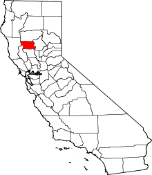 | |
| CDPs | ||
| Unincorporated communities | ||
| Indian reservations | ||
| Ghost towns | ||
This article is issued from Wikipedia - version of the 1/15/2011. The text is available under the Creative Commons Attribution/Share Alike but additional terms may apply for the media files.