Matmata, Morocco
| Matmata | |
|---|---|
| Town | |
 Matmata | |
| Coordinates: MA 34°05′57.98″N 4°33′10.71″W / 34.0994389°N 4.5529750°W | |
| Country |
|
| Region | Fès-Meknès |
| Province | Taza Province |
| Population (2004)[1] | |
| • Total | 2,194 |
| Time zone | WET (UTC+0) |
| • Summer (DST) | WEST (UTC+1) |
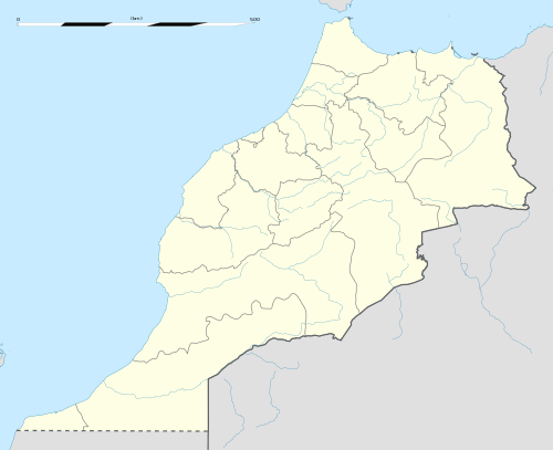
Matmata is a town in Taza Province, Fès-Meknès, Morocco. According to the 2004 census it has a population of 2,194.[1][2]
References
- 1 2 Morocco 2004 Census
- ↑ "World Gazetteer". Archived from the original on 2012-12-05.
Capital: Fes | ||
| Provinces and prefectures | 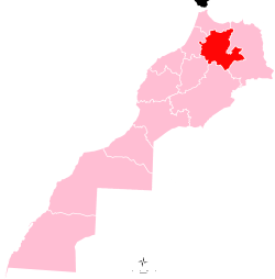 | |
| Cities |
| |
Coordinates: 34°06′N 4°33′W / 34.100°N 4.550°W
This article is issued from Wikipedia - version of the 6/23/2016. The text is available under the Creative Commons Attribution/Share Alike but additional terms may apply for the media files.