Lottie, Louisiana
| Lottie | |
| Unincorporated community | |
| Country | United States |
|---|---|
| State | Louisiana |
| Parish | Pointe Coupee |
| Elevation | 30 ft (9.1 m) |
| Coordinates | 30°33′23″N 91°38′30″W / 30.55639°N 91.64167°WCoordinates: 30°33′23″N 91°38′30″W / 30.55639°N 91.64167°W |
| Timezone | CST (UTC-6) |
| - summer (DST) | CDT (UTC-5) |
| ZIP code | 70756 |
| Area code | 225 |
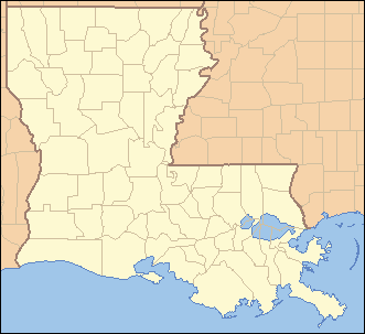 Location of Lottie in Louisiana | |
 Location of Louisiana in the United States | |
Lottie (pronounced Lôt-tē) is an unincorporated community located in Pointe Coupee Parish, Louisiana (USA), along U.S. Highway 190 near its intersection with Louisiana Highway 81. The population is 450. The postal zip code in this town is 70756.
History
When William Smith was appointed to postmaster for a new post office located about five miles west of Livonia, Louisiana in 1900, the residents of this rural area had to come up with a name. After many names were suggested, but no name was agreed upon, it was suggested that a drawing will be held. Lottie Raby's name was pulled, and this southern Pointe Coupee post office has been named for her for over a century.[1]
References
- ↑ Lockhart, John M. "Roadmap to the Westside", The Riverside Reader, January 21, 2008, p. 1
Municipalities and communities of Pointe Coupee Parish, Louisiana, United States | ||
|---|---|---|
| City |  | |
| Towns | ||
| Village | ||
| CDP | ||
| Other unincorporated communities | ||
| Ghost towns | ||
This article is issued from Wikipedia - version of the 10/26/2016. The text is available under the Creative Commons Attribution/Share Alike but additional terms may apply for the media files.